
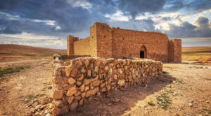
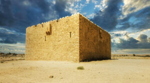
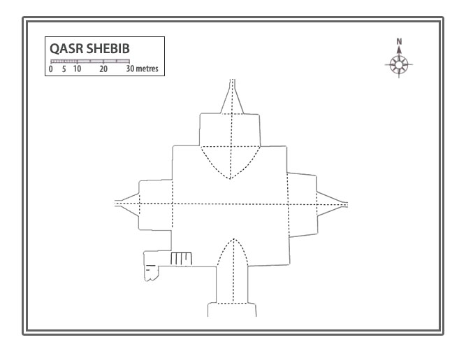
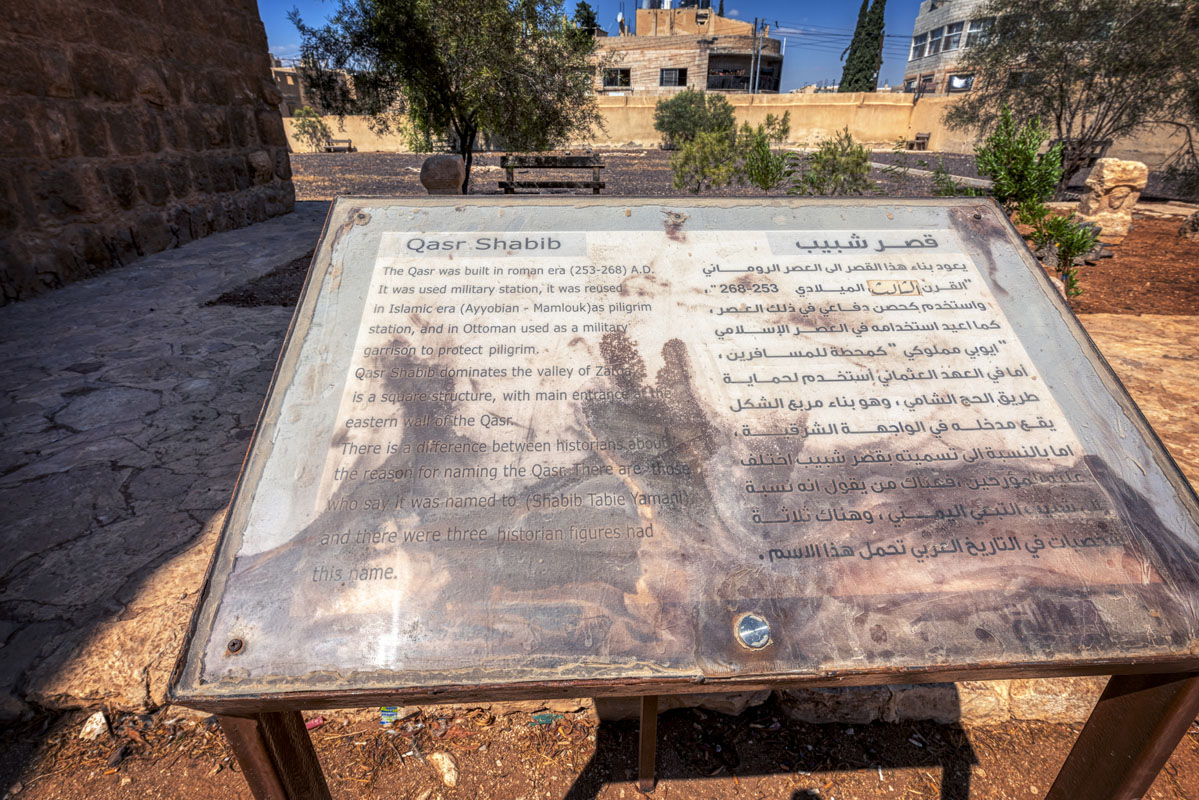
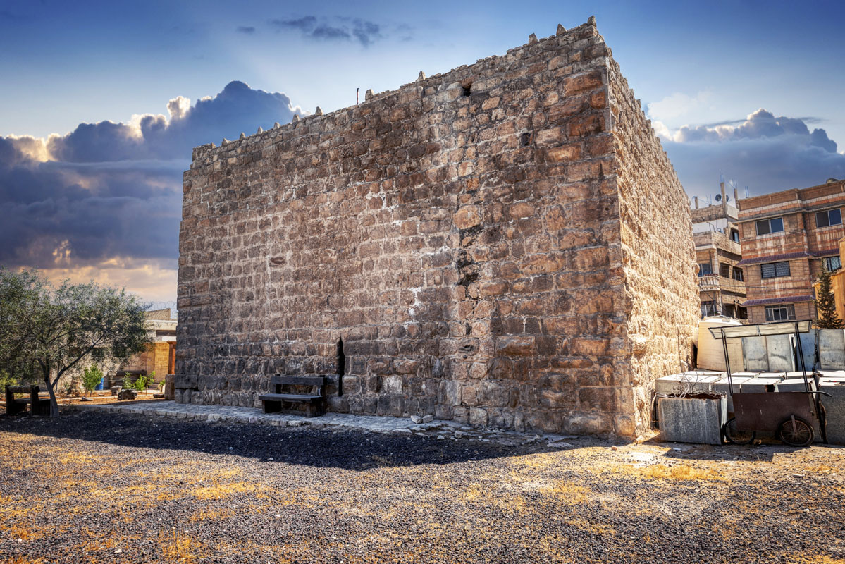
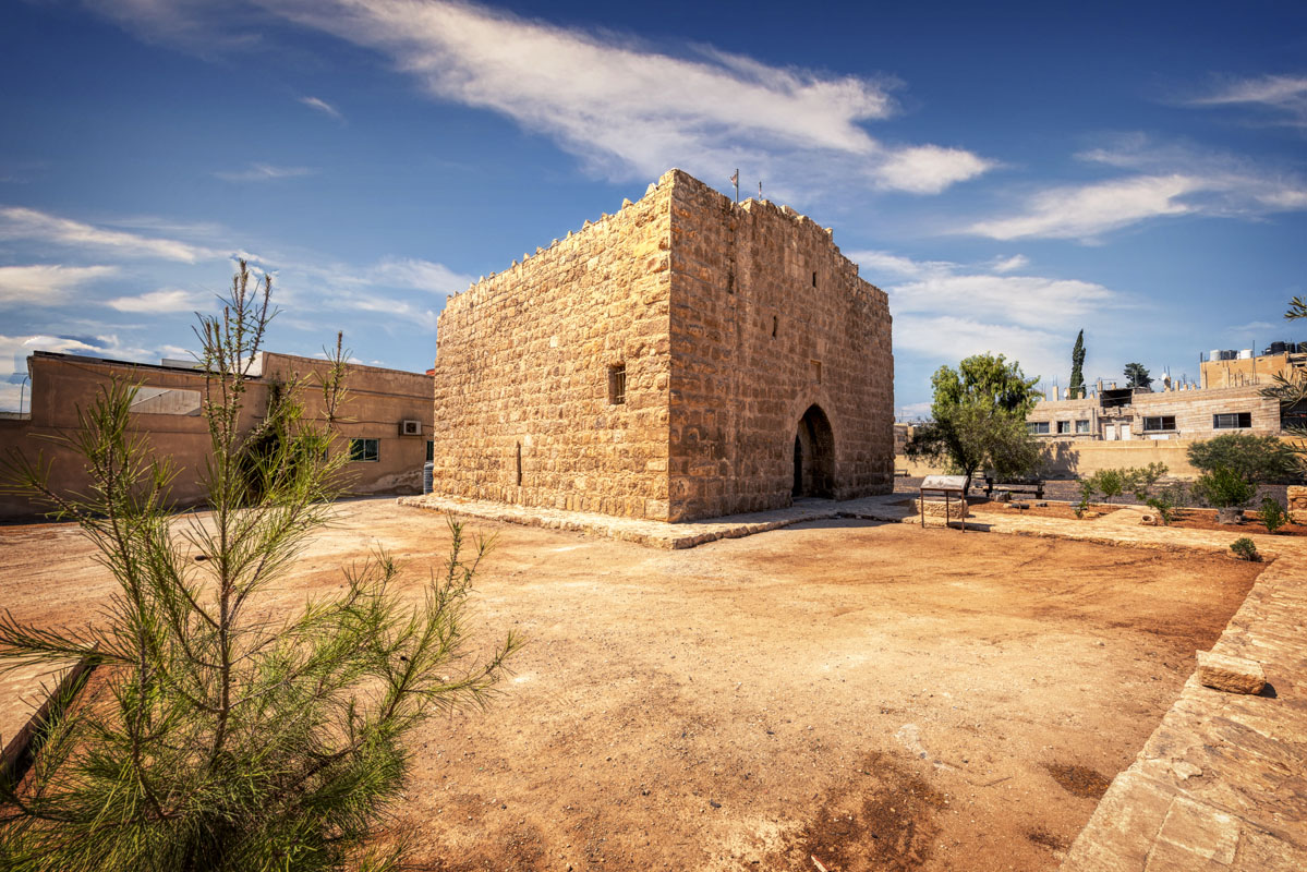
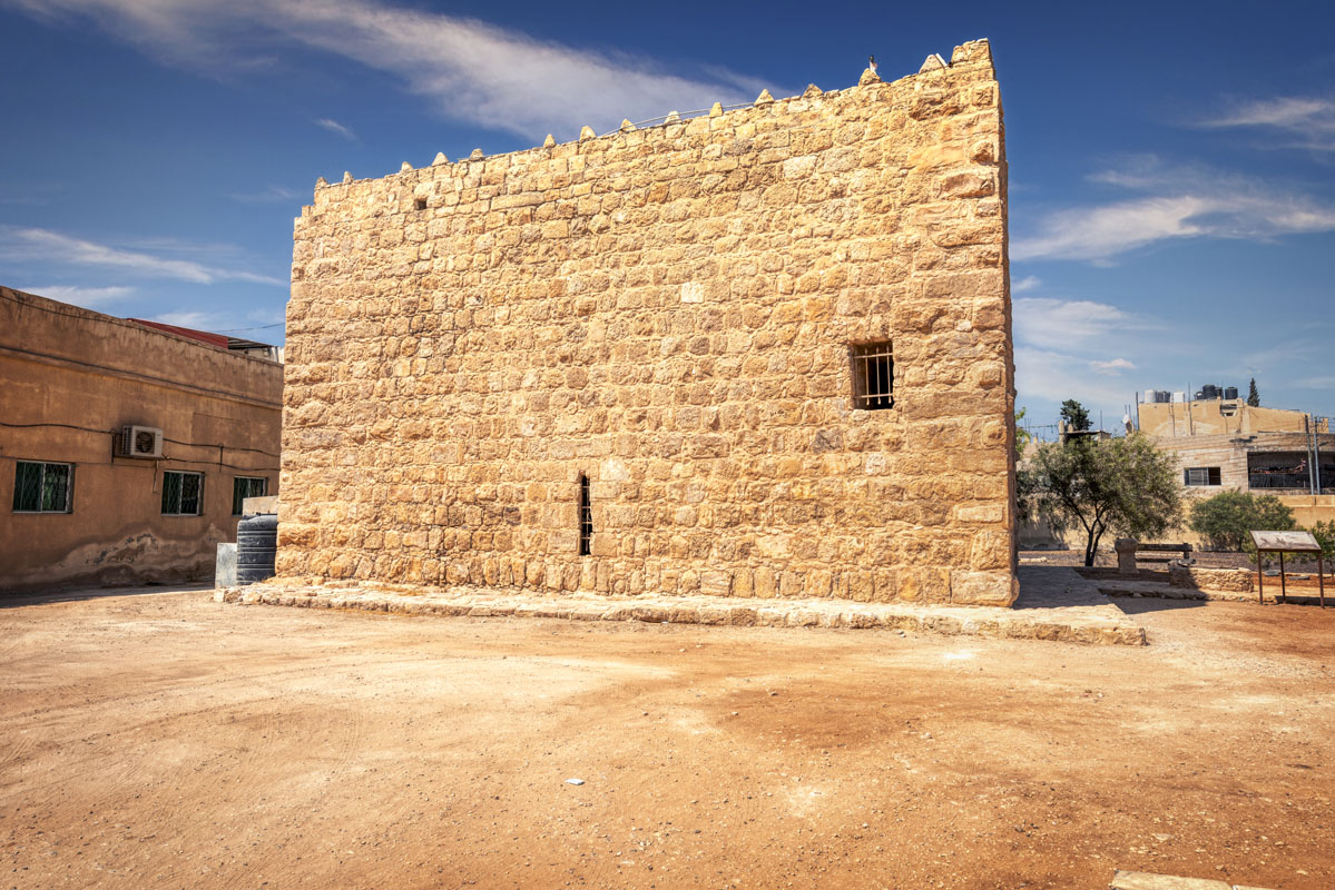
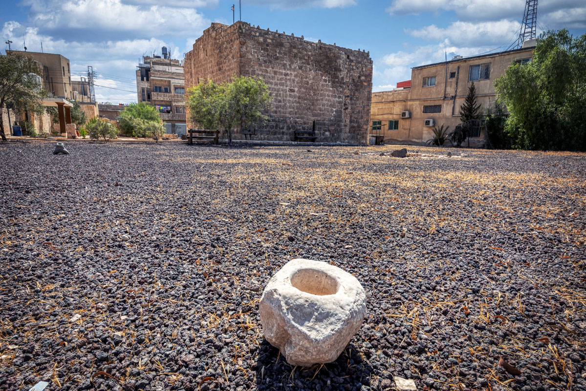
One of Ottoman Hajj Forts, today known as Qasr Shebib, the fort stands in a prominent position on a spur between two wadis, Wadi Zarqa and its tributary, Wadi Huweijir. It is situated next to the Zarka First Secondary School and is jointly maintained by the Department of Antiquities and the Ministry of Education.
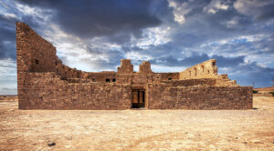
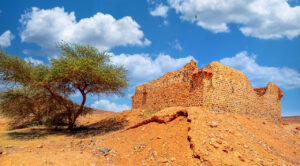
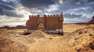
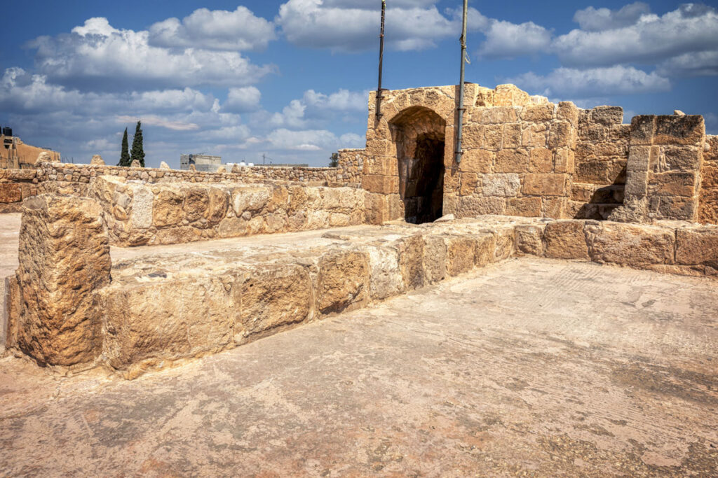
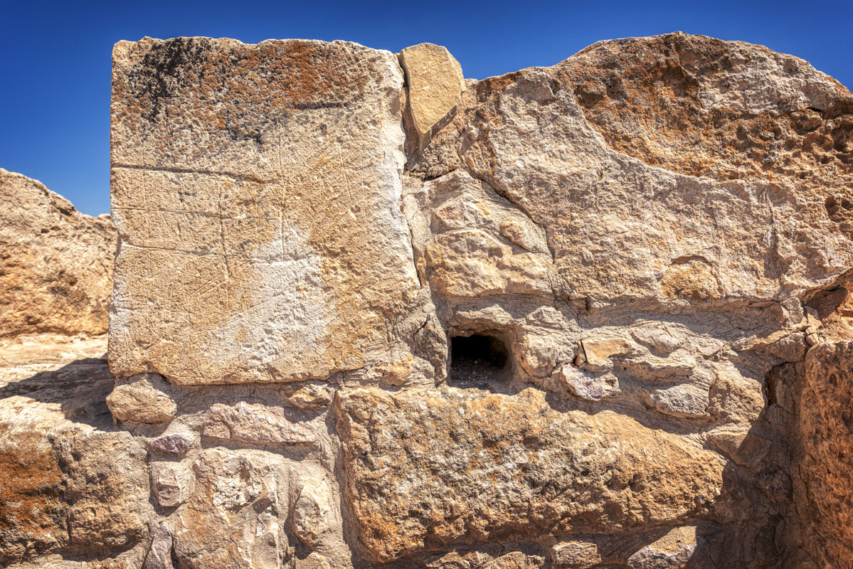
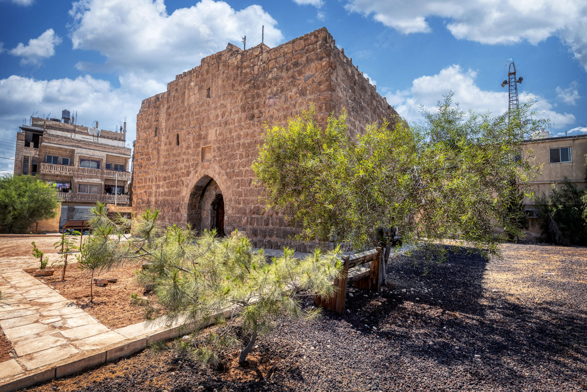
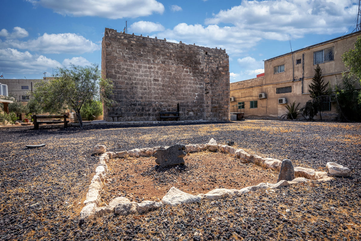
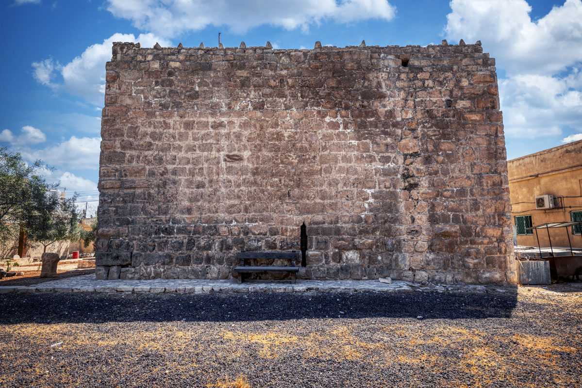
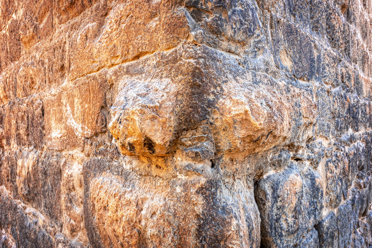
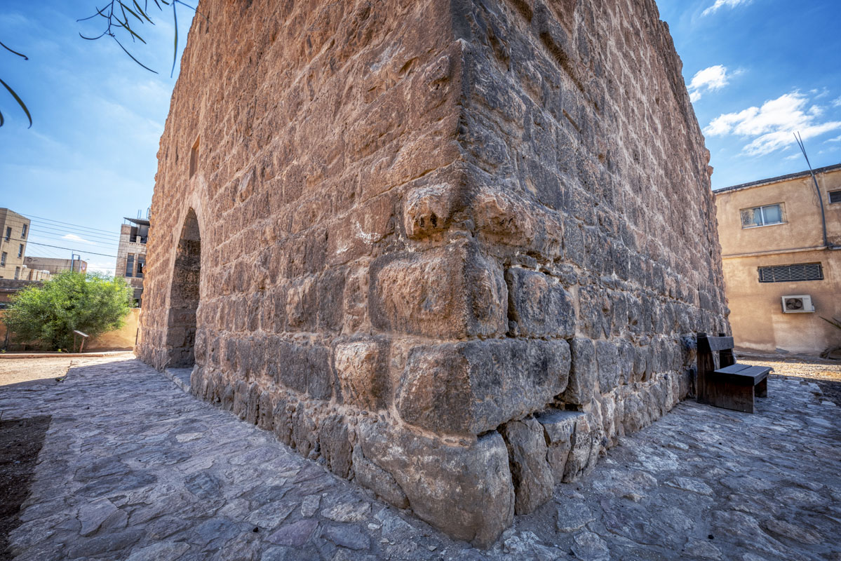
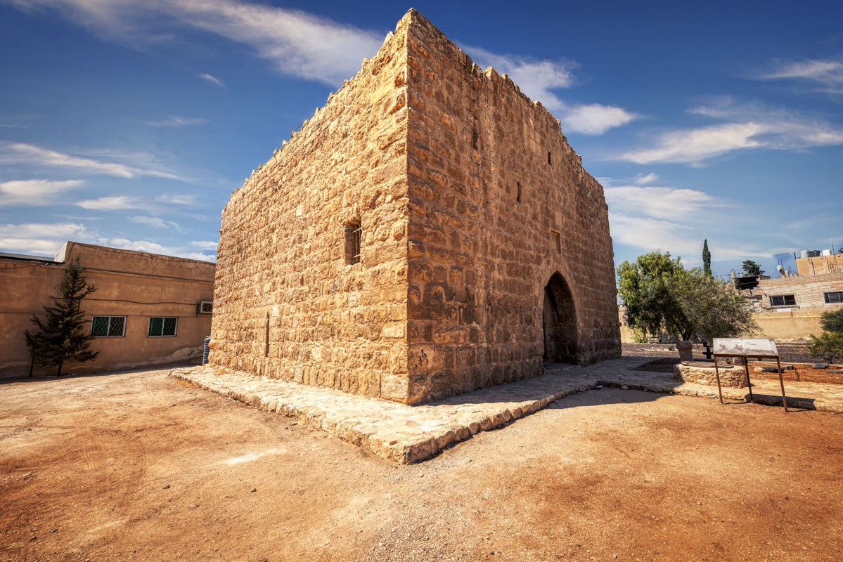
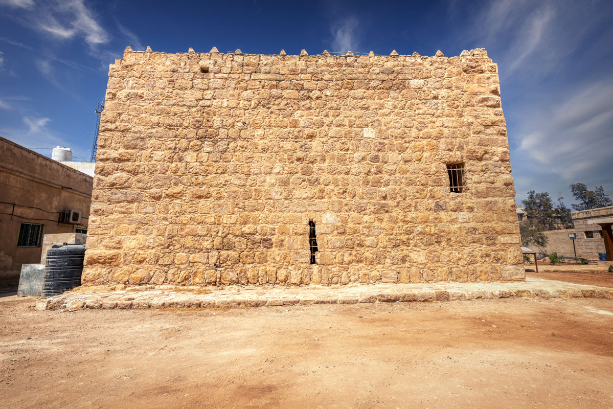
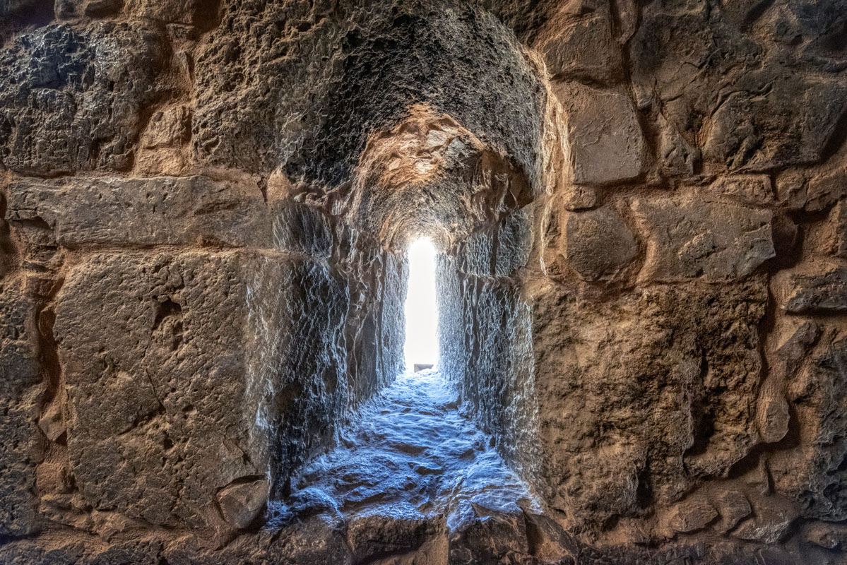
The building is a solidly built, square structure, measuring 14 m per side, with an entrance in the middle of the north side. The walls are made of large limestone blocks, usually about 0.5 m high and 0.5–1 m long. Many of the stones were probably taken from an earlier Roman structure. Most of the blocks have rusticated centres within a smooth border. The average height of the fort is 8 m above current ground level. The top of the fort has triangular crenellations on three sides, composed of stone blocks set at an angle of 45º (these appear to be later additions to the original structure). On the southwest and east sides are traces of blocked up arrow slits, 25 cm wide and 1 m high. Each arrow slit is situated approximately 0.5 m above the present ground level.
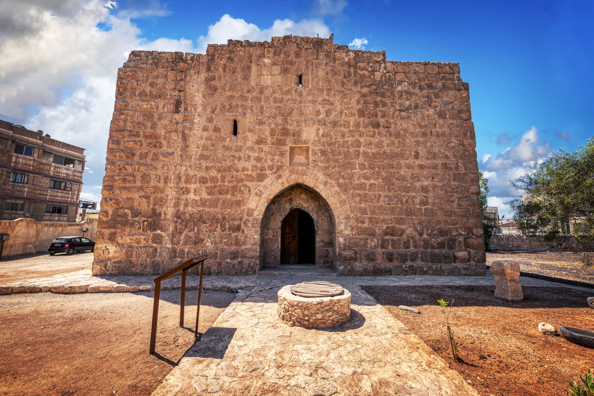
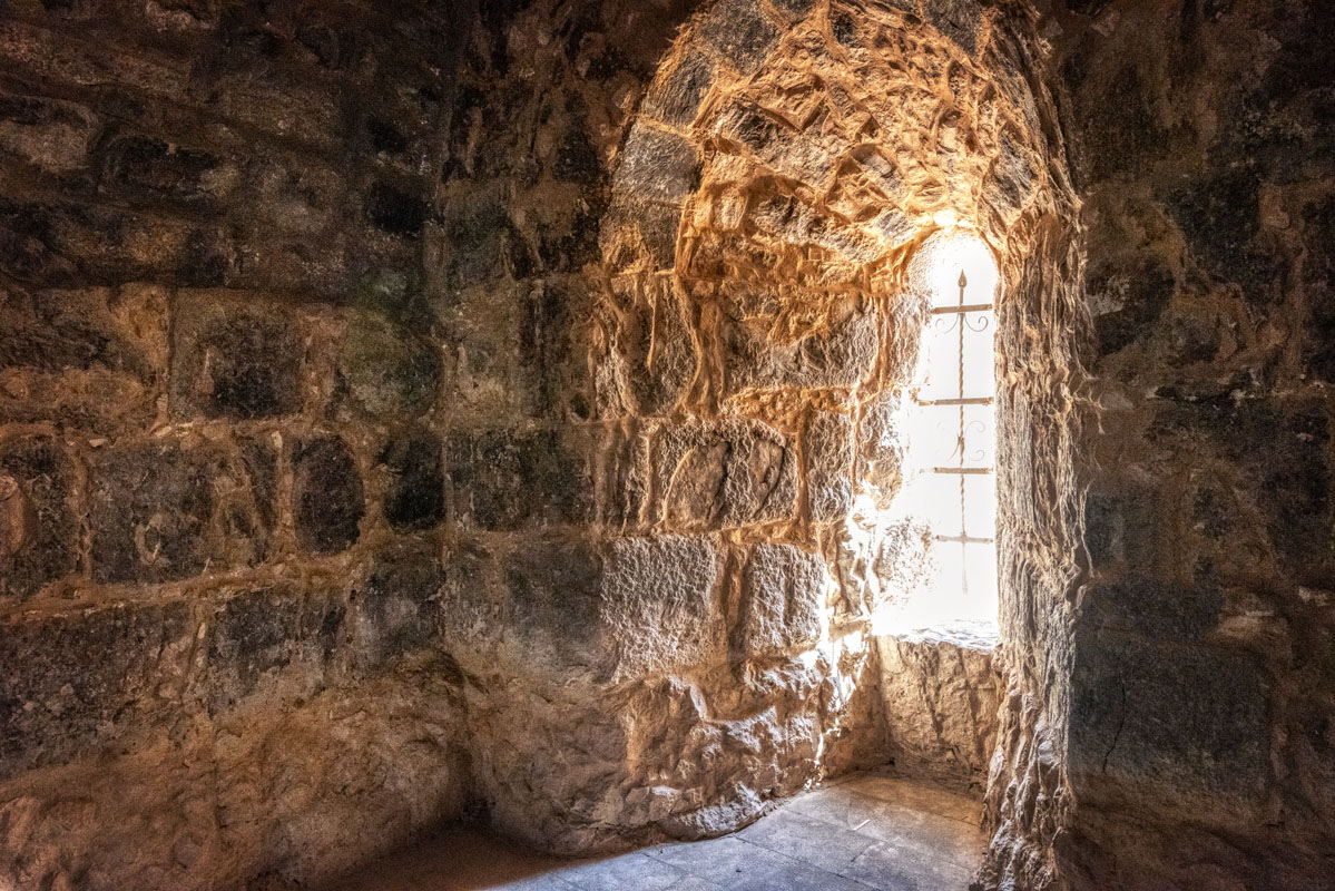
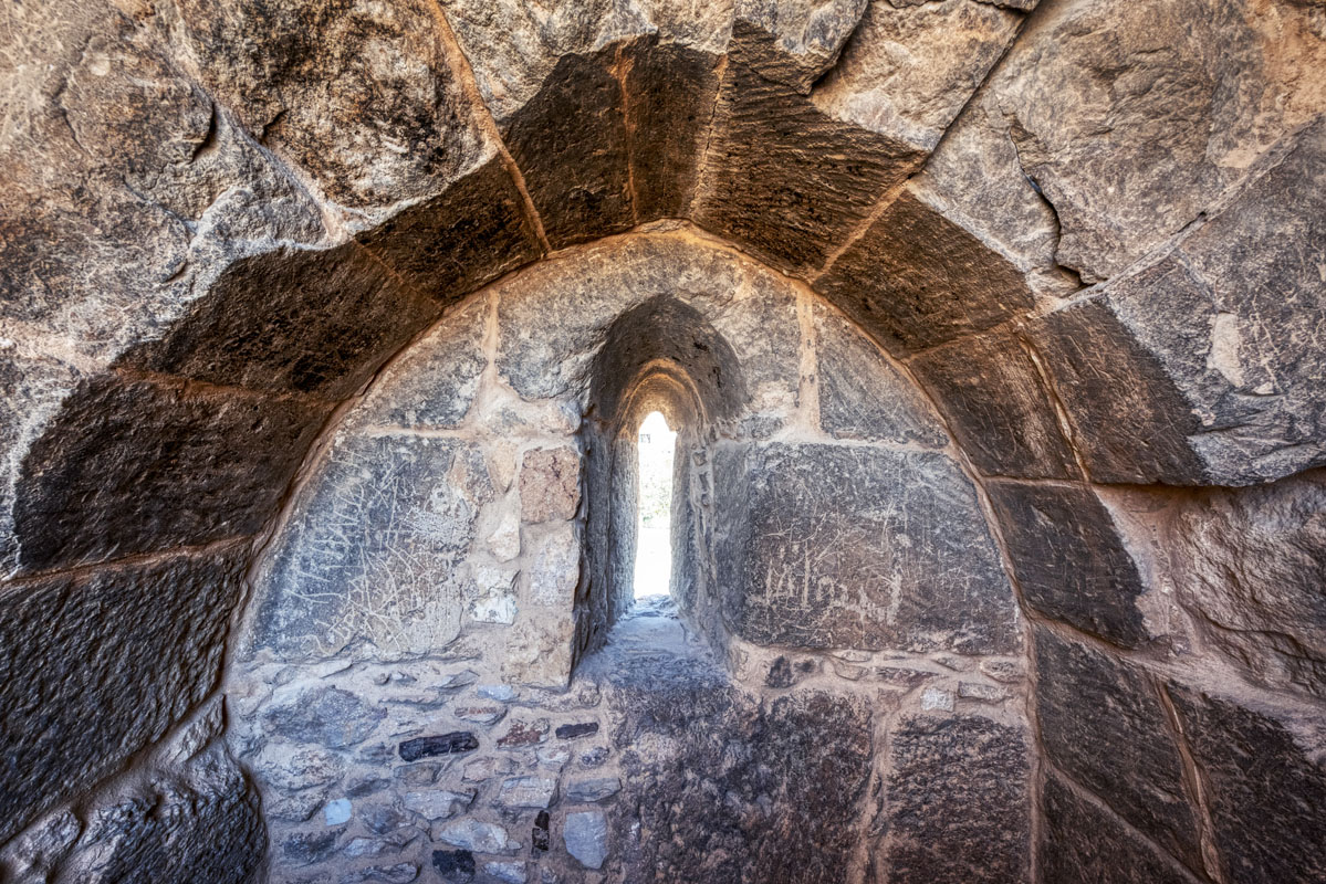
The North Face of the fort is the most interesting, besides containing the entrance it has two small lancet windows, which provide light to the interior staircase. These windows are of simple construction, formed by a gap/slit between two blocks and arch shape cut into the stone above.
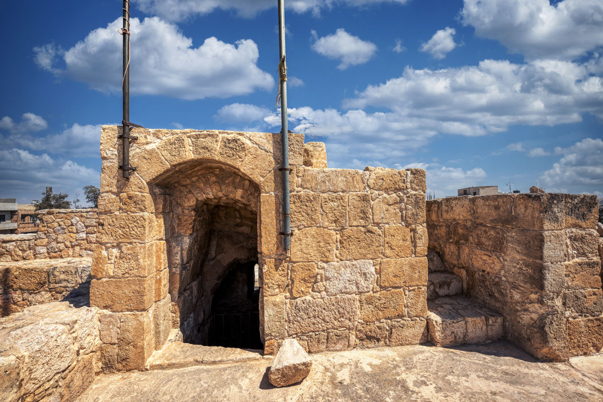
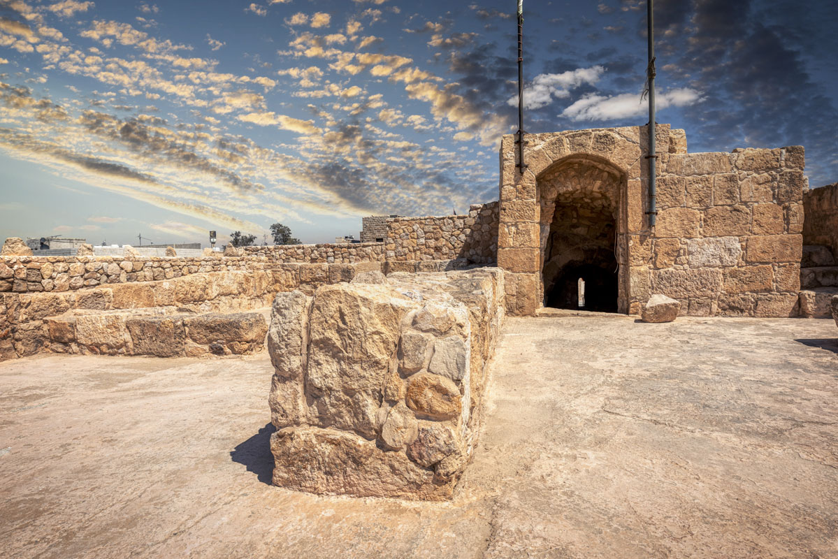
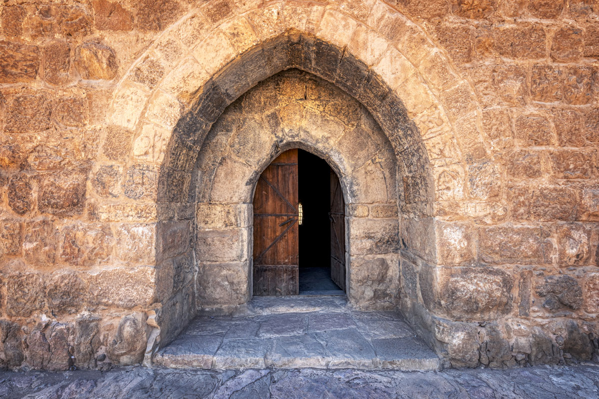
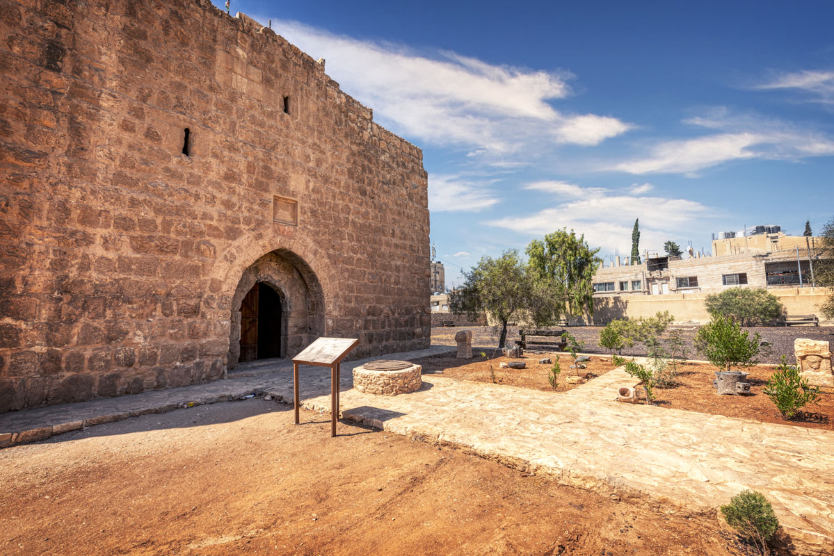
The entrance is composed of a large, pointed, arch recess, 3.5 m high by 1.8 m wide, within which is an arched doorway (2 m high × 1.8 m wide) of similar shape to the recess. The larger arch of the recess is built out of two courses of finely cut ashlars.
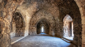
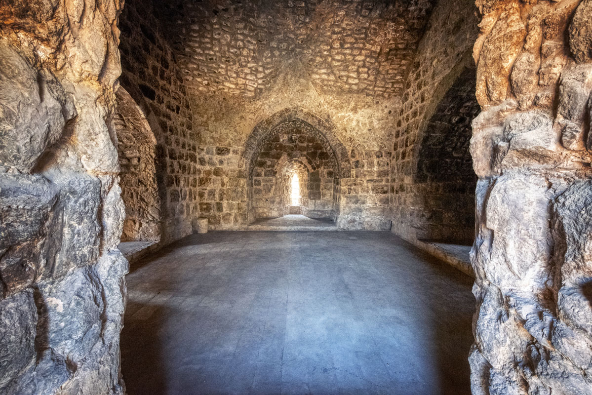
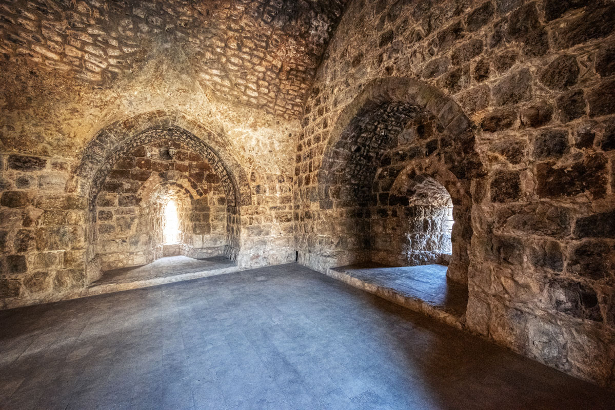
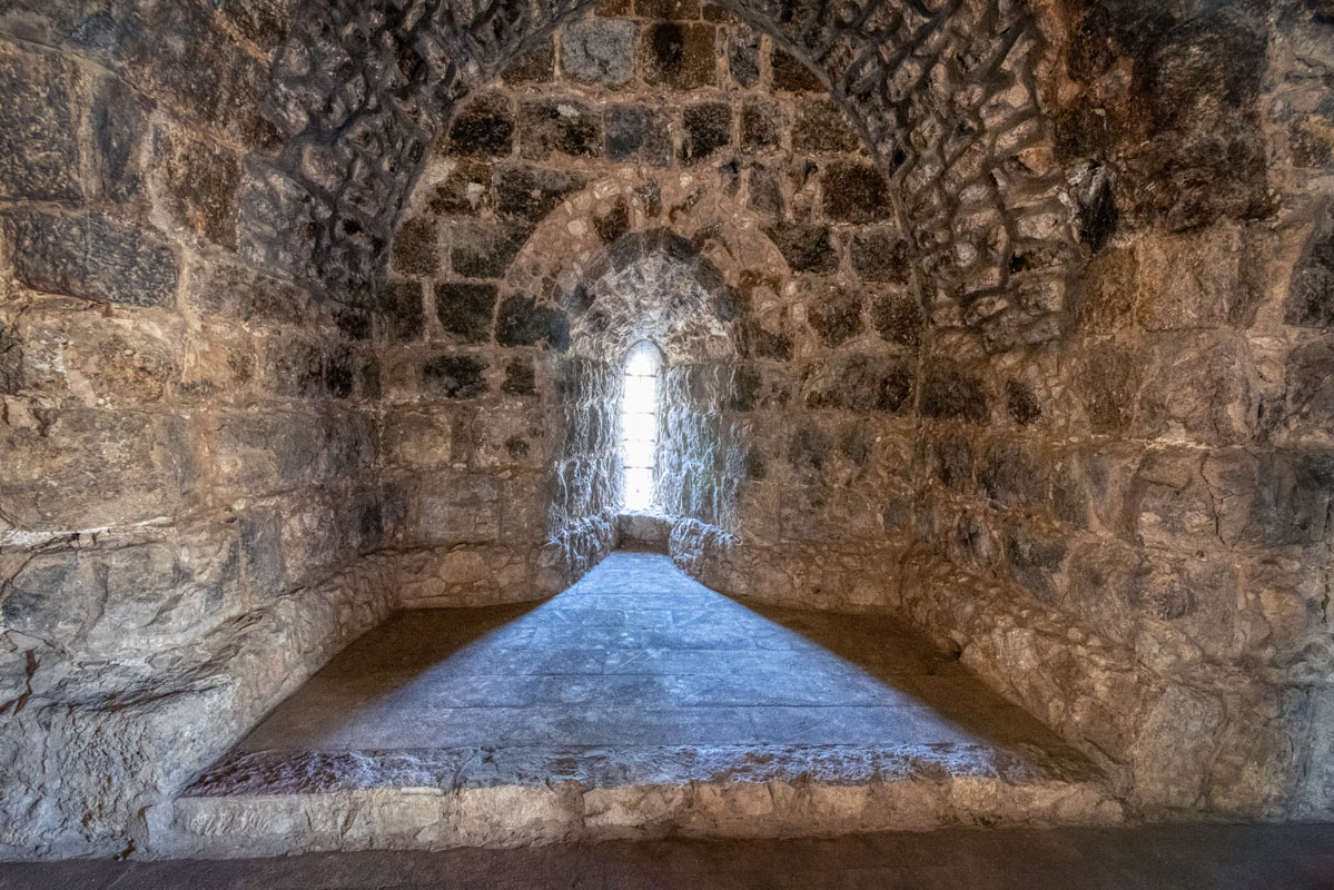
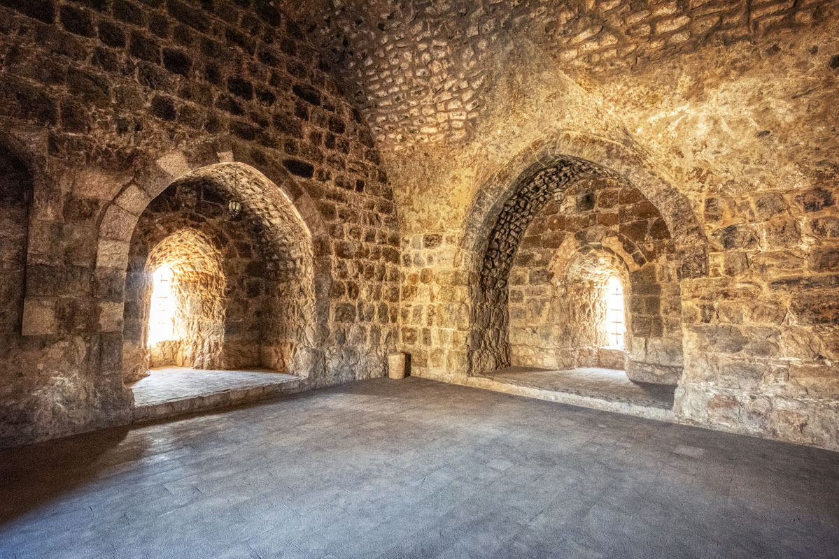
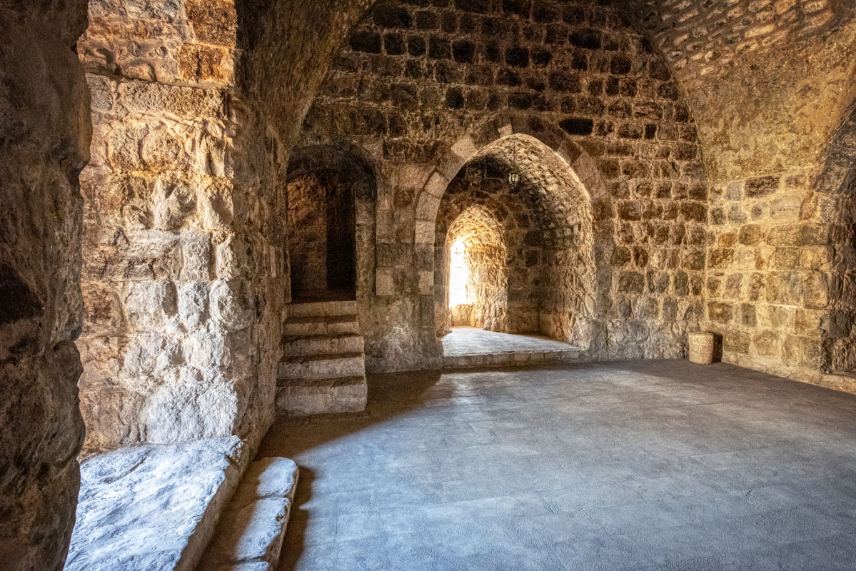
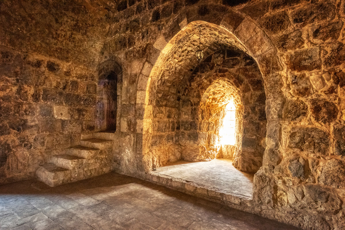
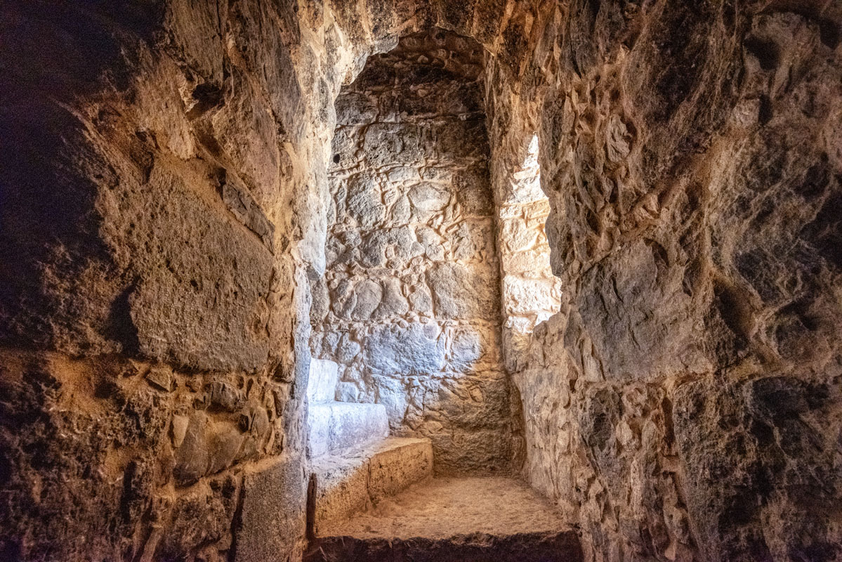
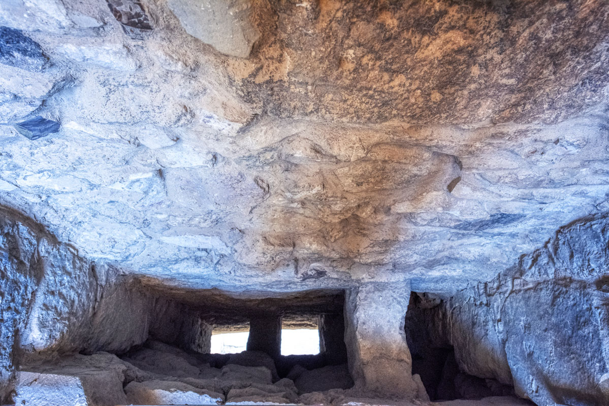
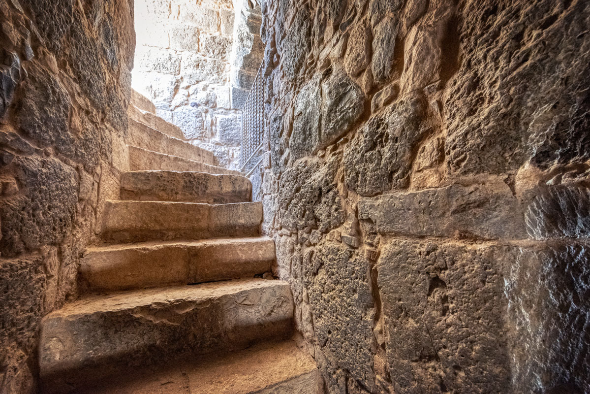
Above the central point of the arch is a single recessed limestone block, which almost certainly once contained an inscription. Between the outer arch and the doorway, there is a concealed slot opening, which is 0.2 m wide and 2.8 m long. This opening reaches some 4.5 m upwards, to the same height as the lancet window above the doorway and must have been designed as a concealed machicolation. The doorway (now fitted with a sheet steel door) leads into a large barrel-vaulted chamber. The vault is of a two-centre pointed form (similar to that used in the doorway) and runs from east to west, at a maximum height of approximately 6 m above floor level. On the east, west and south sides of the vault, there are deep recesses within which are set, tall (2 m), arrow slits. In the northeast corner is a set of four steps leading to a doorway, which connects with a staircase to the upper floor.
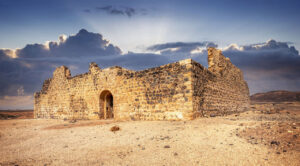
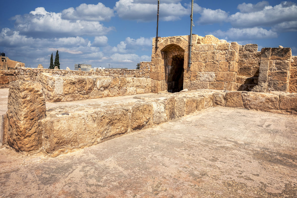
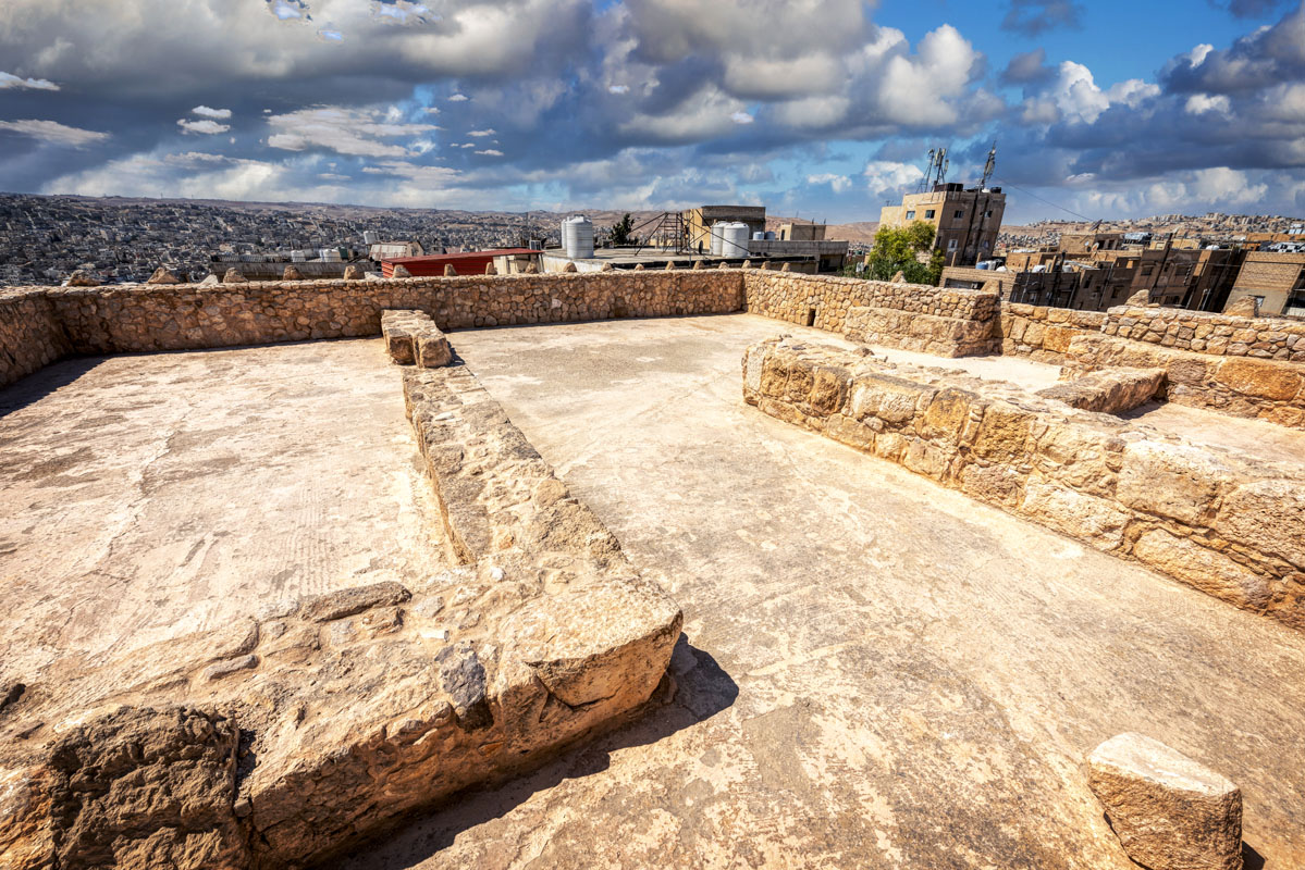
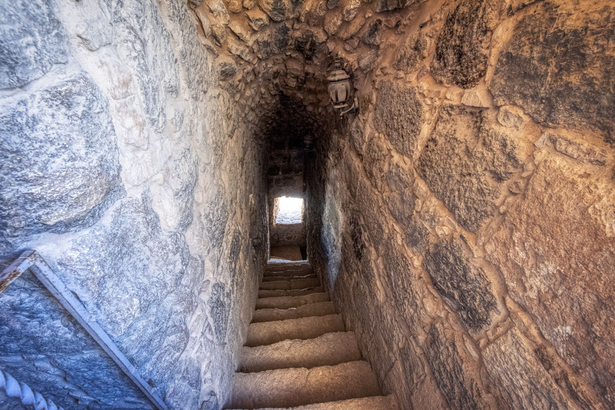
The staircase leads through the thickness of the wall, making a right angle turn leading up, over the entrance. The staircase is illuminated by the two lancet windows visible on the exterior of the north wall. The upper floor of the building is in a ruinous condition, though traces of walls, which may once have comprised rooms, can be seen. Two walls are visible, running from north to south and dividing the floor into three sections; perhaps two rooms and a central courtyard. There are also the remains of an arrow slit on the north side, above the entrance. In any case, certainly, the building was once higher, for the staircase continues upwards, possibly to a second floor, which no longer exists.
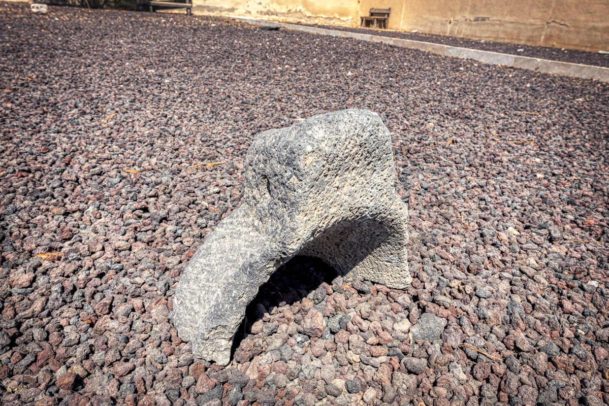
Outside the fort, there are at least three cisterns, two on the east side and one, 3.5 m from the entrance, on the north side. The entrance to each cistern is the same and consists of a square mouth (0.6 m × 0.6 m) bordered by a bevelled cut stone kerb.
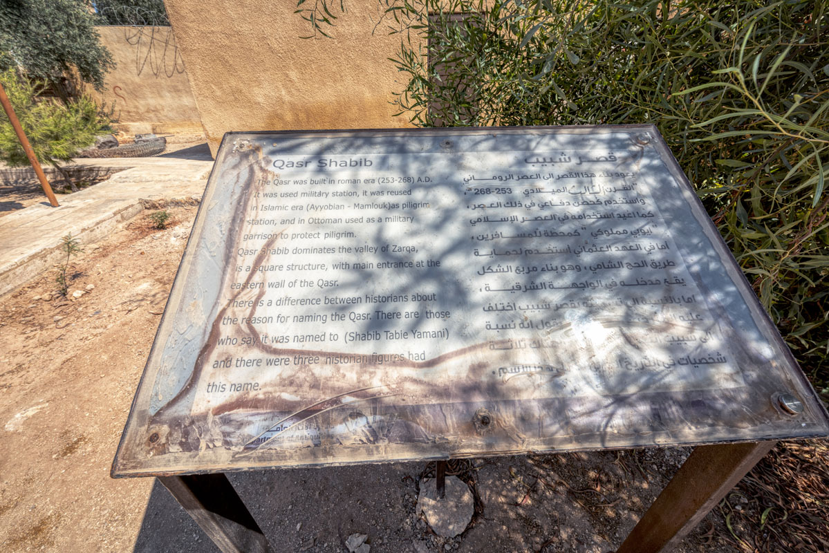
The first structure built on this site was probably a Roman fort, which is referred to in a Latin inscription dated AD 253/9 embedded into the wall of Qasr Shebib and discovered by the Princeton Expedition in the early 1900s. The 13th-century writer Yaqut associates the area of Wadi Zarqa with the pre-Islamic Himyarite ruler, Shebib Tubbai, and it seems likely that the name of the fort is also derived from this association. However, the present building, Qasr Shebib, is certainly of Medieval origin, even though not specifically mentioned in Medieval Arabic sources the site was a well-known stopping point for caravans in the Mamluk period. Zarka first appears in Ottoman sources in 1519, in connection with a confrontation between the Ottoman pilgrims and the Mafarija tribe which ended peacefully. The fort, however, is not explicitly mentioned as Qasr Shebib in written sources until 1563, when it appears as the name of a stop in the itinerary of Mustapha Pasha. Peake Pasha, citing an oral source, records that the fort was used as a hiding place in 1611–13 by Ali, son of Fakhr al-Din al Ma‘ani when he was being pursued by the Sardiya tribe acting under orders from the al-Hafiz, the governor of Damascus.
In 1709, Murtada ibn Alawan stopped at Zarqa 20 hours after leaving Mafraq and before moving on to Qatrana. He describes it as a dirty and difficult stopping place, which appeared to be deserted. Seventy years later, in 1779, Mehmed Edib arrived at Ayn Zarka which he described as an abandoned settlement with flowing water and a fort. In 1812, the fort at Zarqa was used as a base for Ottoman forces engaged in a conflict with the Bani Sakher. Following the Egyptian occupation in the 1820s, Ayn al-Zarka was inspected by the officers of Muhammad Ali Pasha, who noted the large quantities of fresh flowing water in the wadi. The officers also made a note of the fort, which was in a ruinous condition and scheduled for repairs. In 1899 the fort was restored by the Ottoman authorities, to protect the area from Bedouin raiders and serve as a nucleus for settlement. In 1903, 36 Chechen families from the Caucusus were settled around the fort.


