
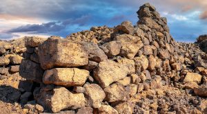
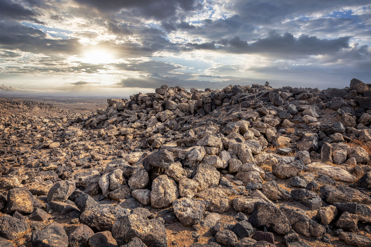
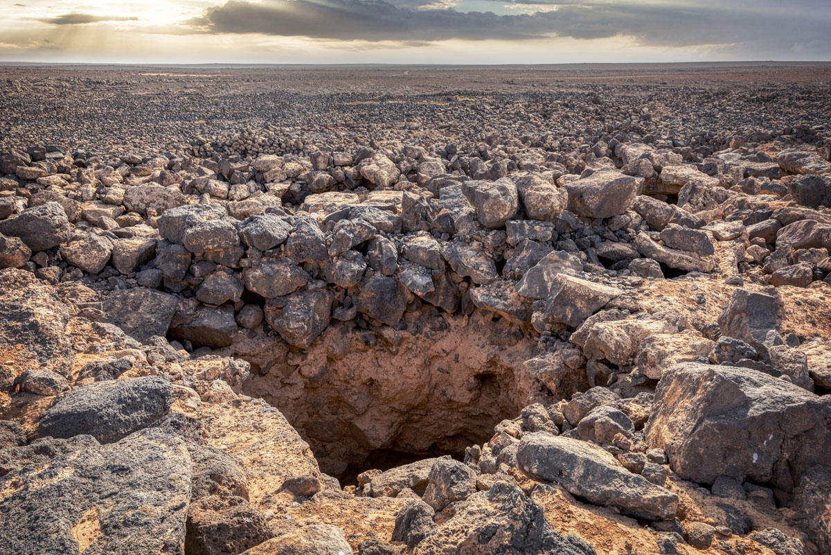
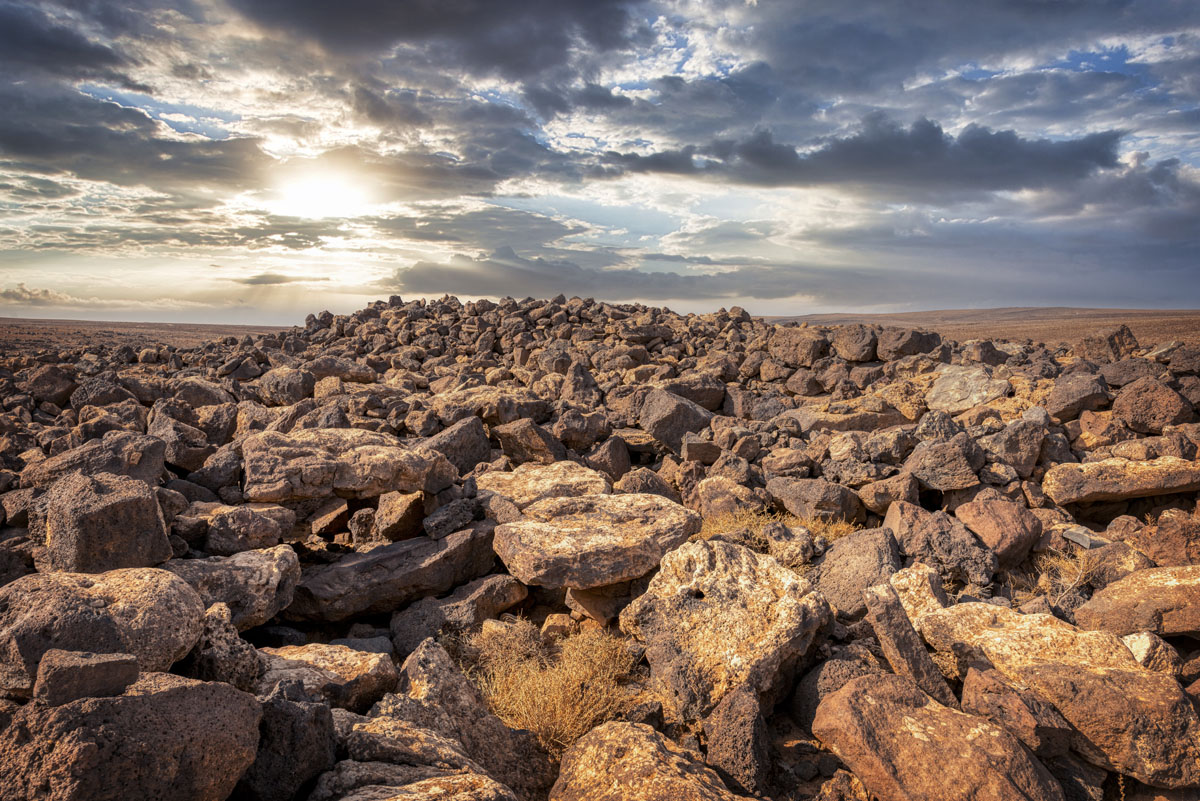
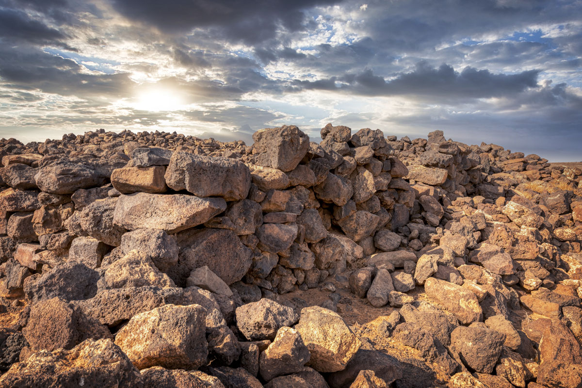
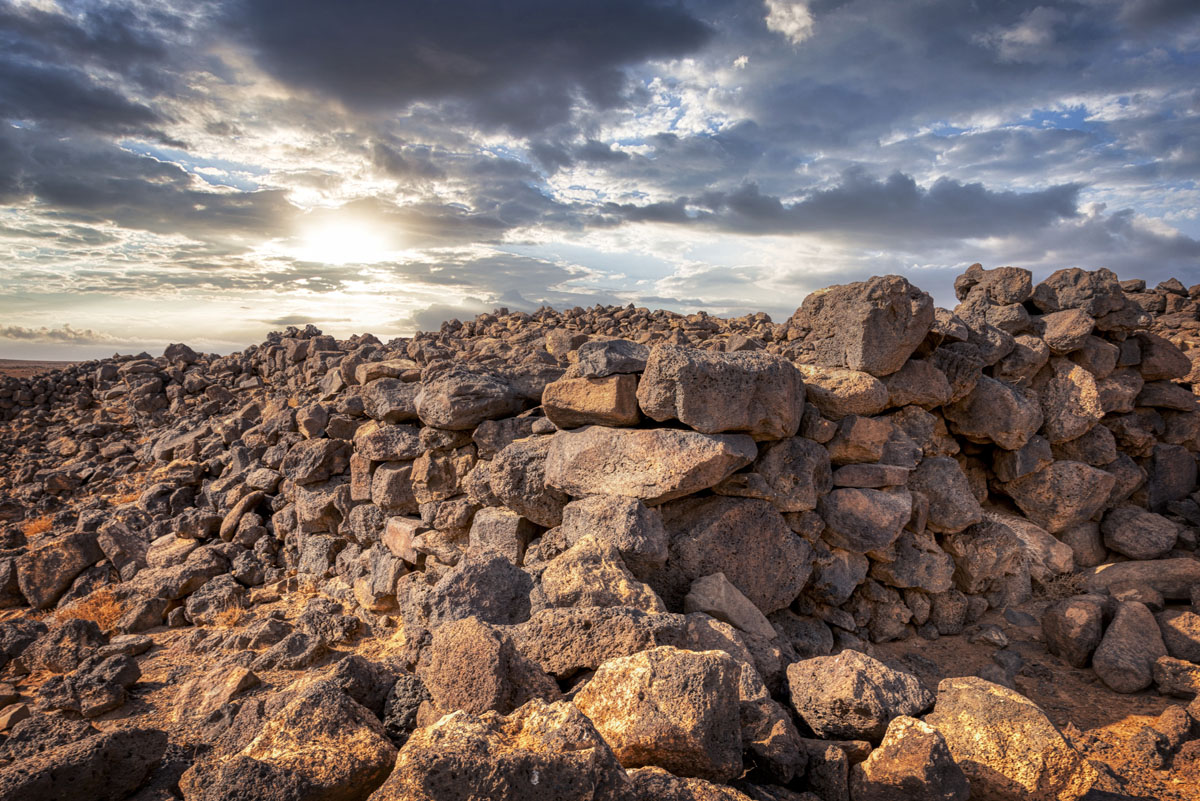
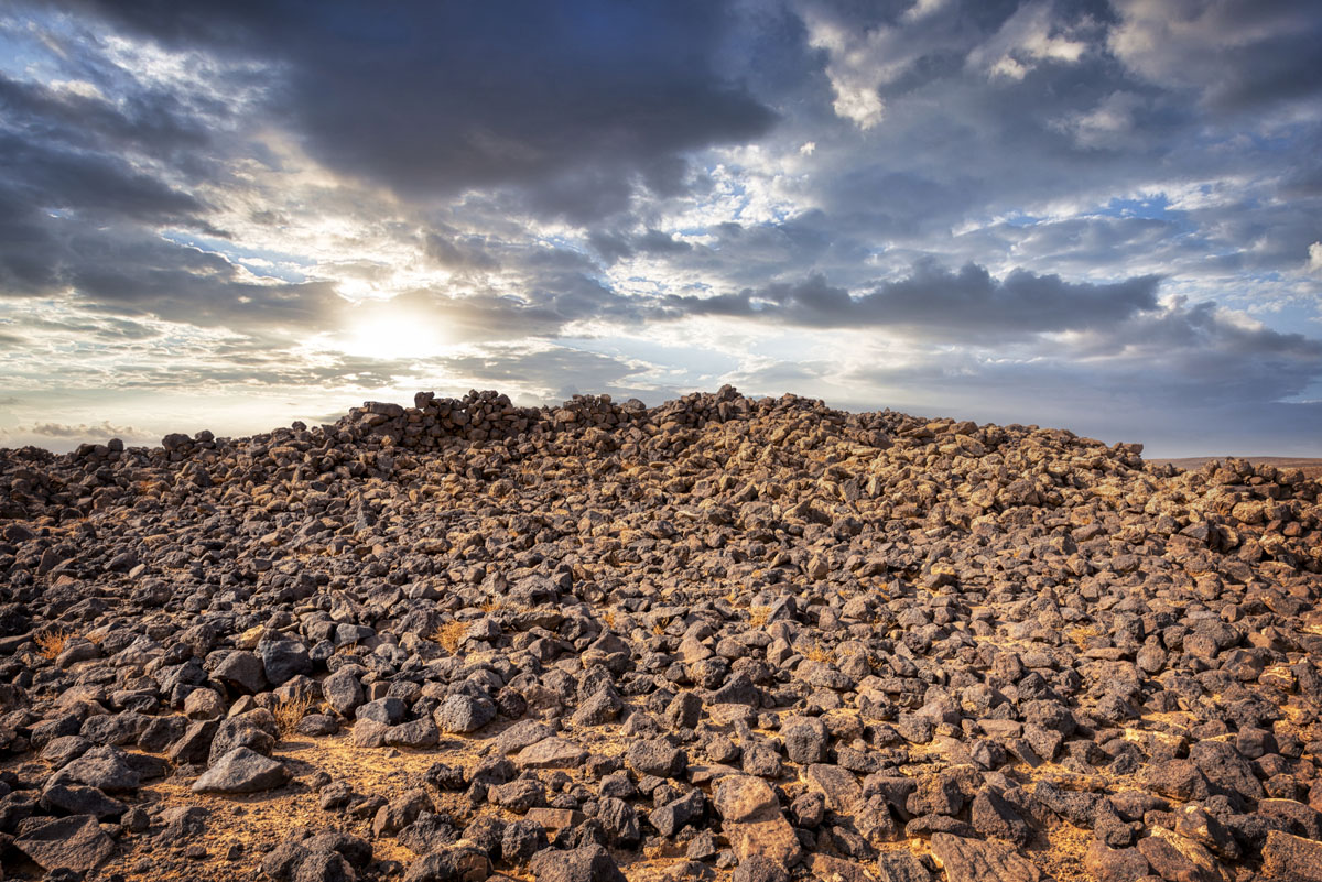
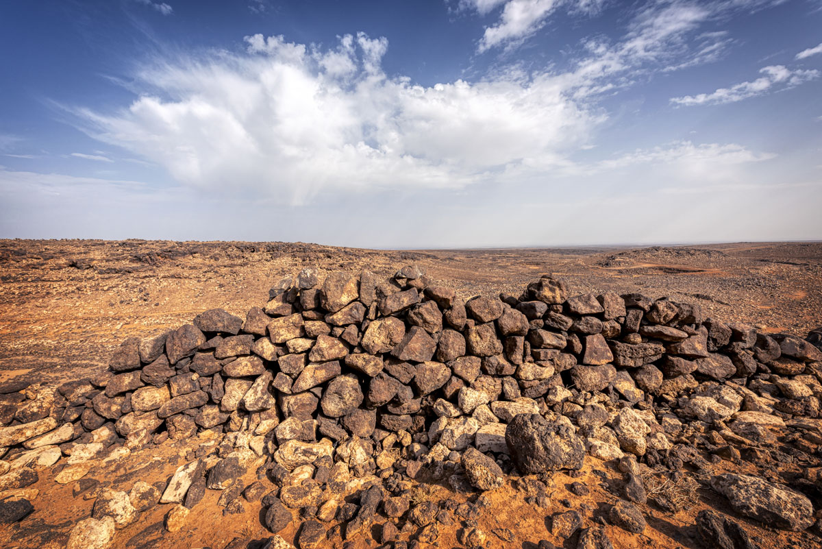
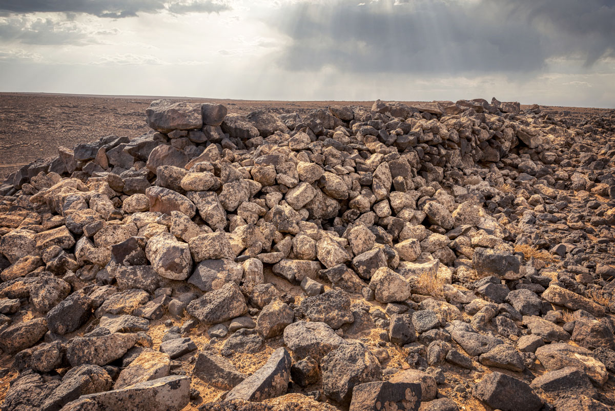
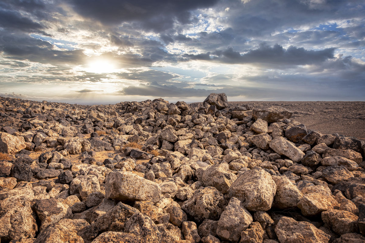
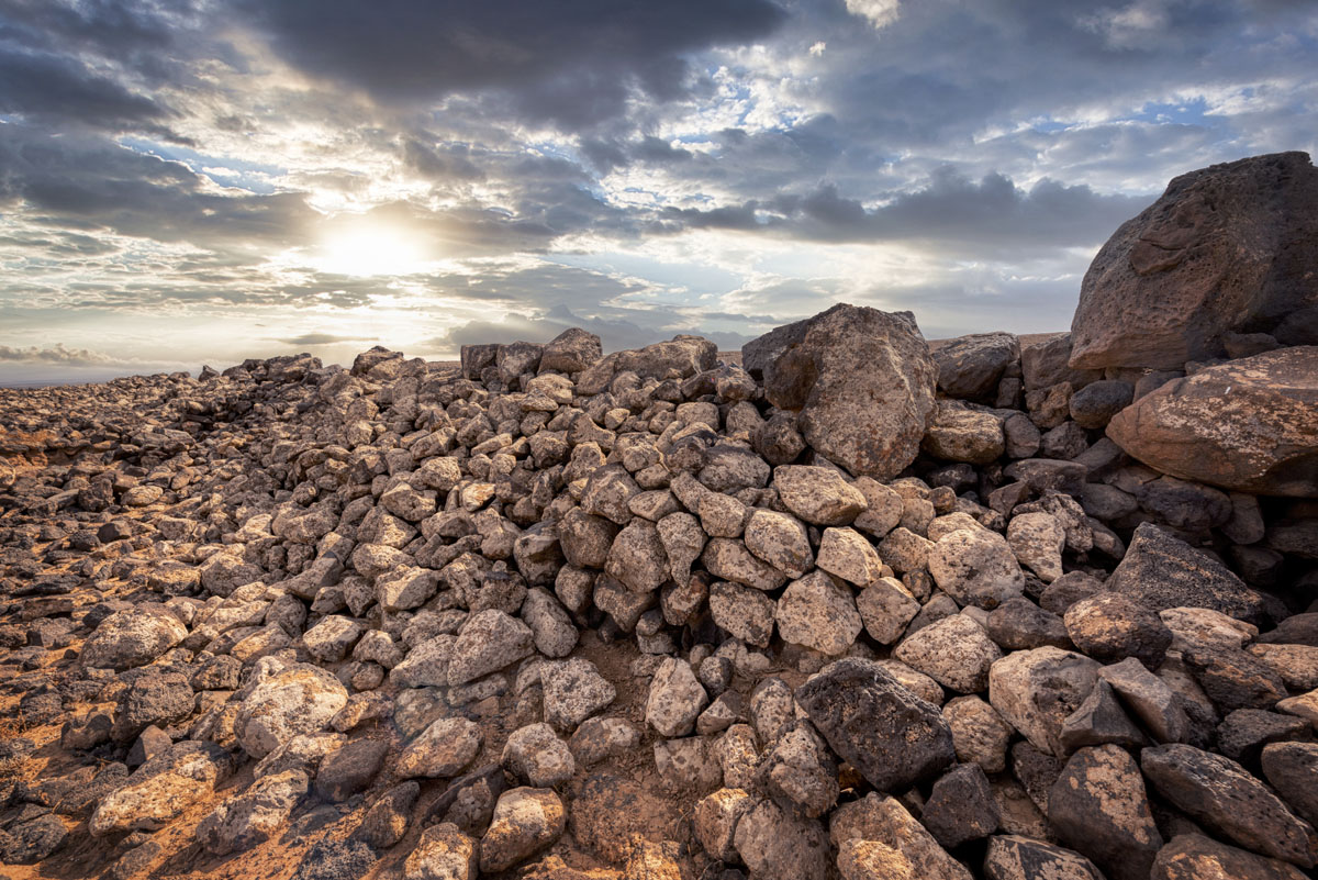
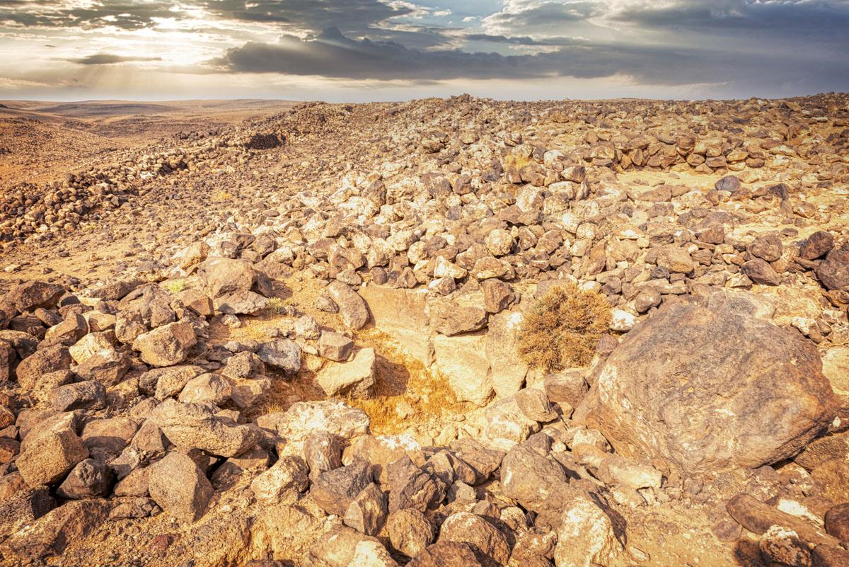
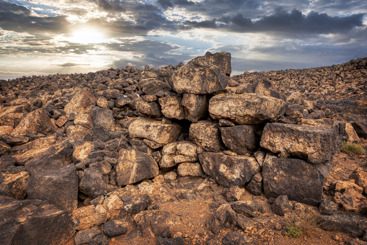
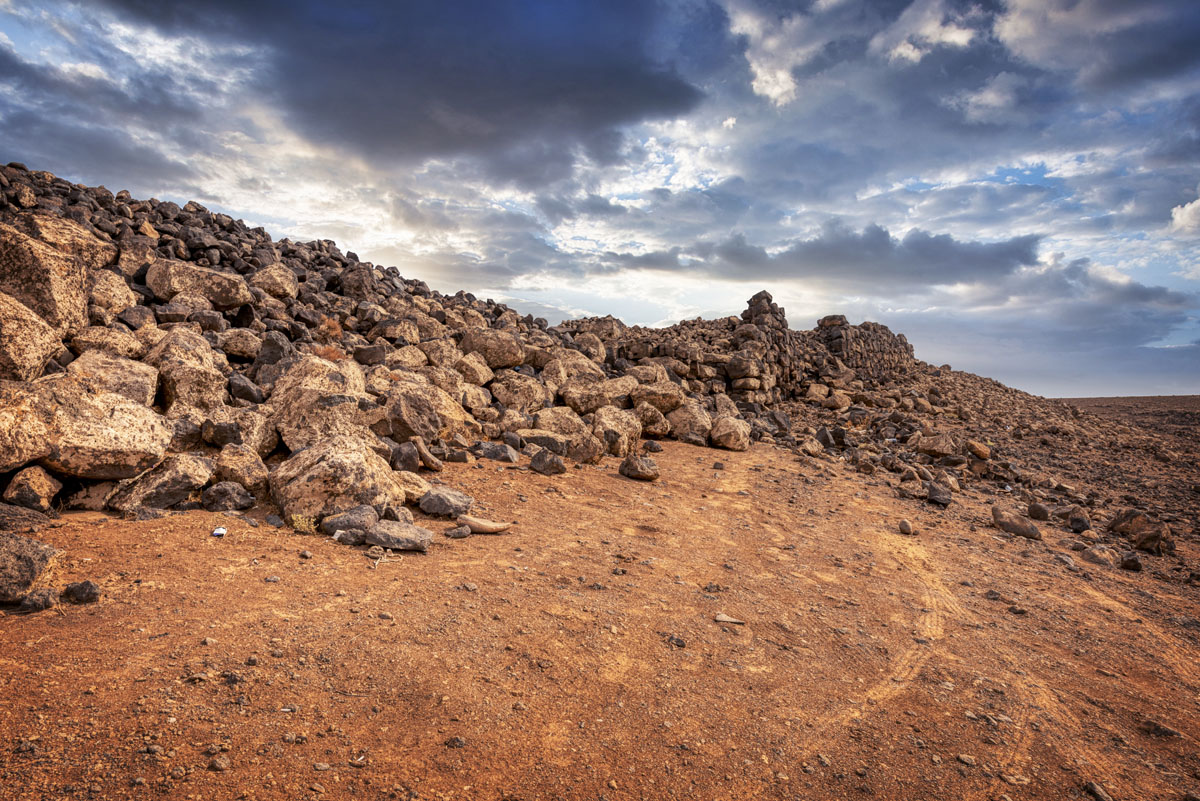
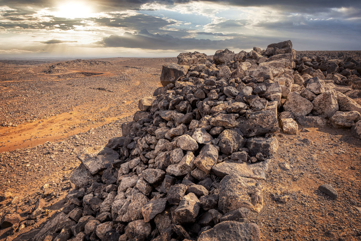
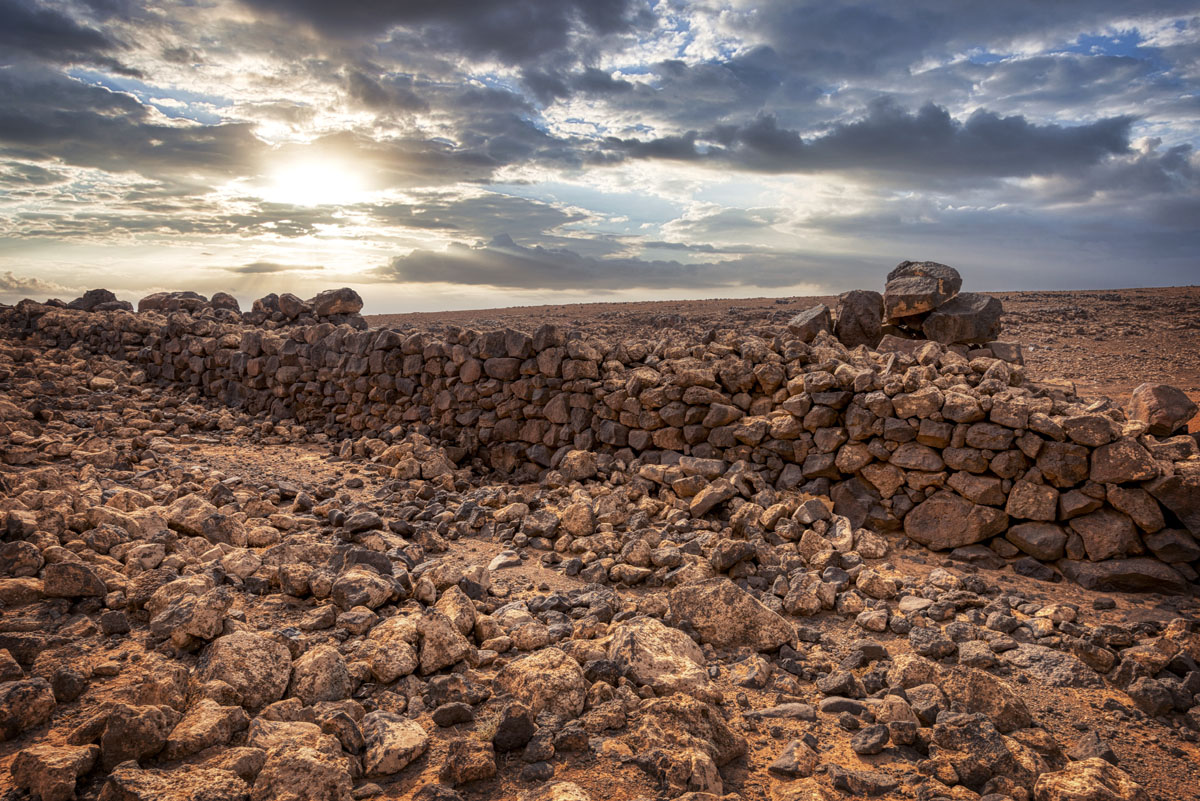
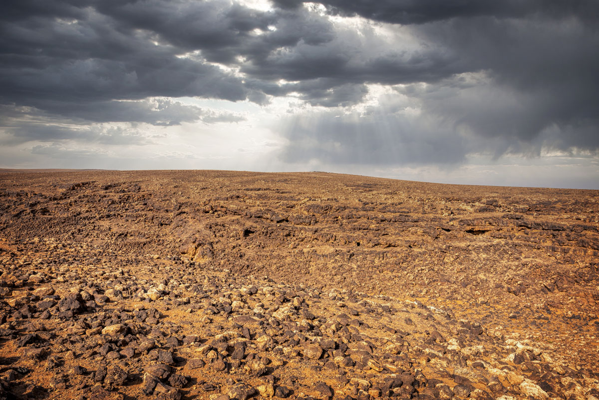
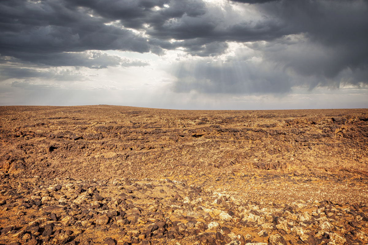
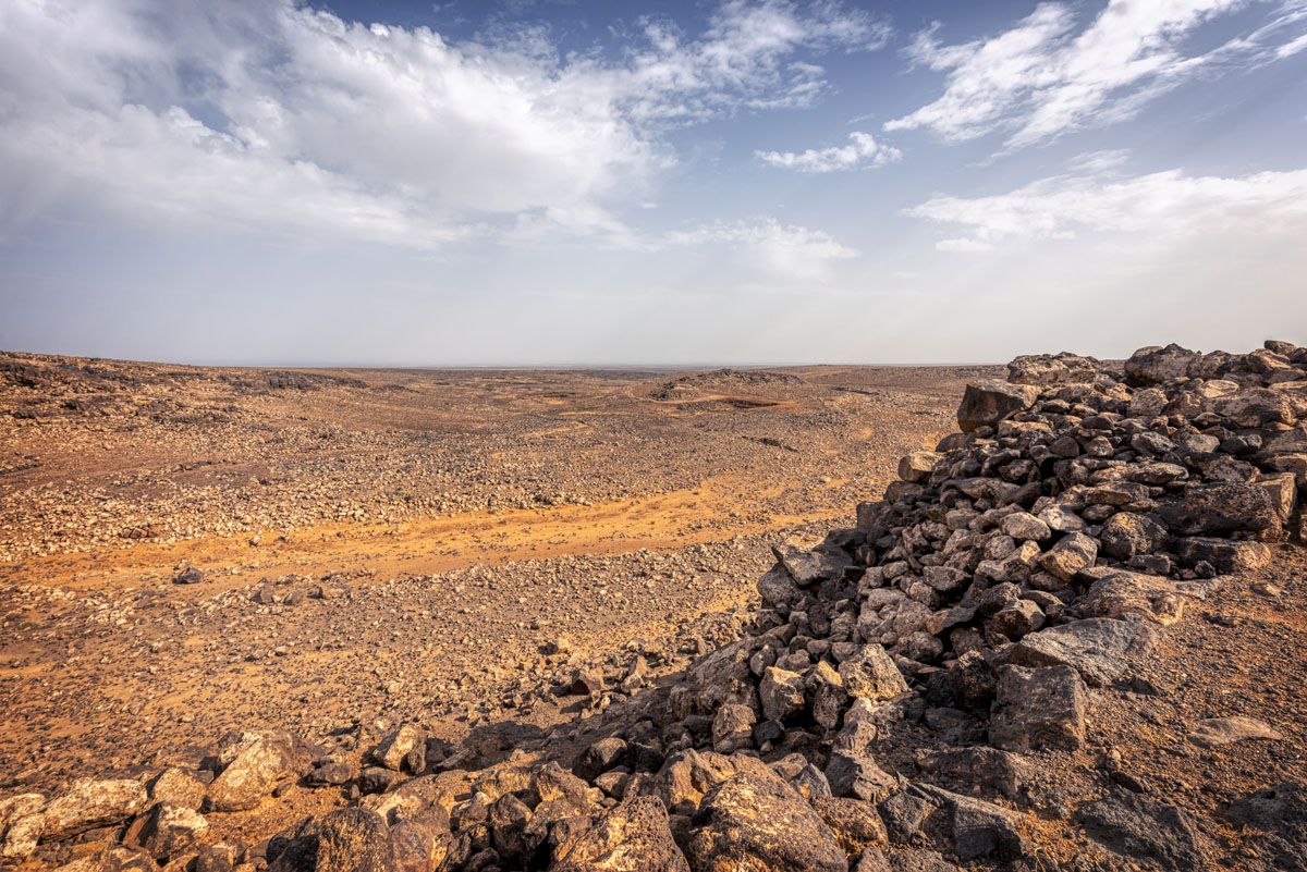
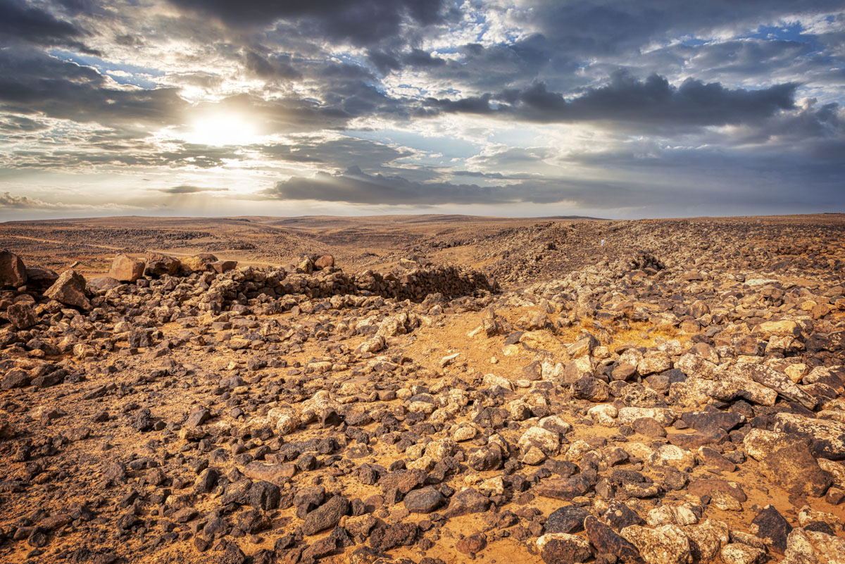
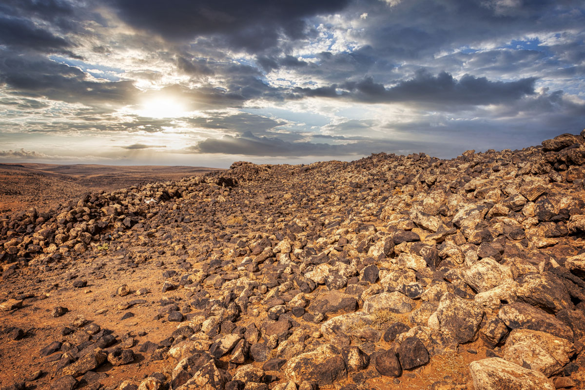
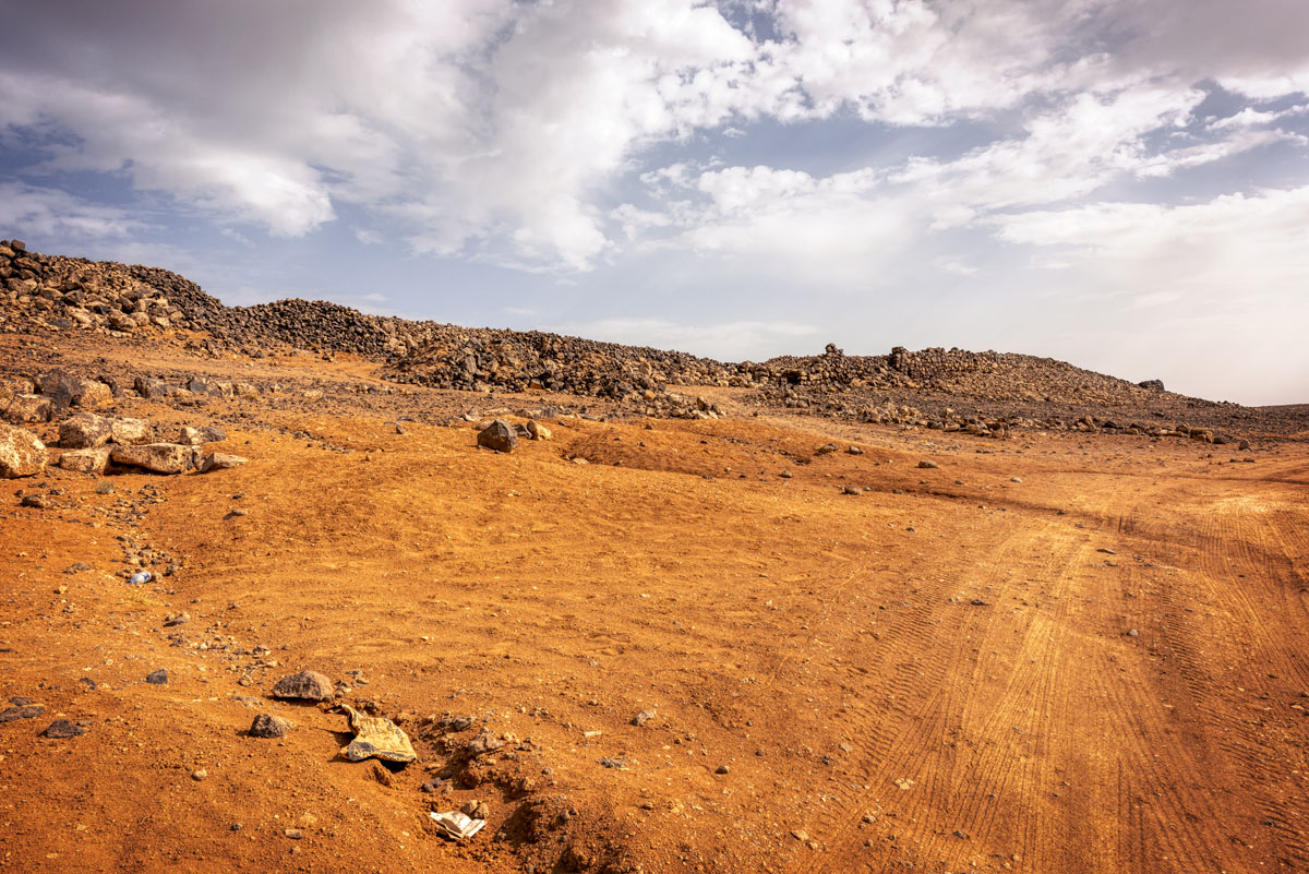
7 km past Qasr Deir Al Kinn, Jawa’s massive black basalt walls loom on a steep, rocky ledge alongside the Wadi Rajil. Jawa is an enigmatic site – its construction was an enormous undertaking, yet the people who built it, their origins unknown, abandoned their town after less than 500 years. In addition, Jawa has the oldest known dam in the world, dating back to 3000 BC. It was part of a water supply system that eventually consisted of other smaller dams to support the growing local town of Jawa.

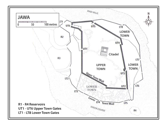
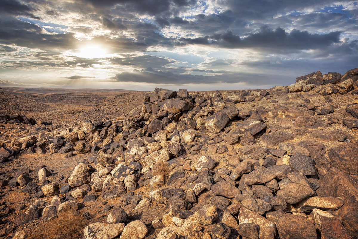
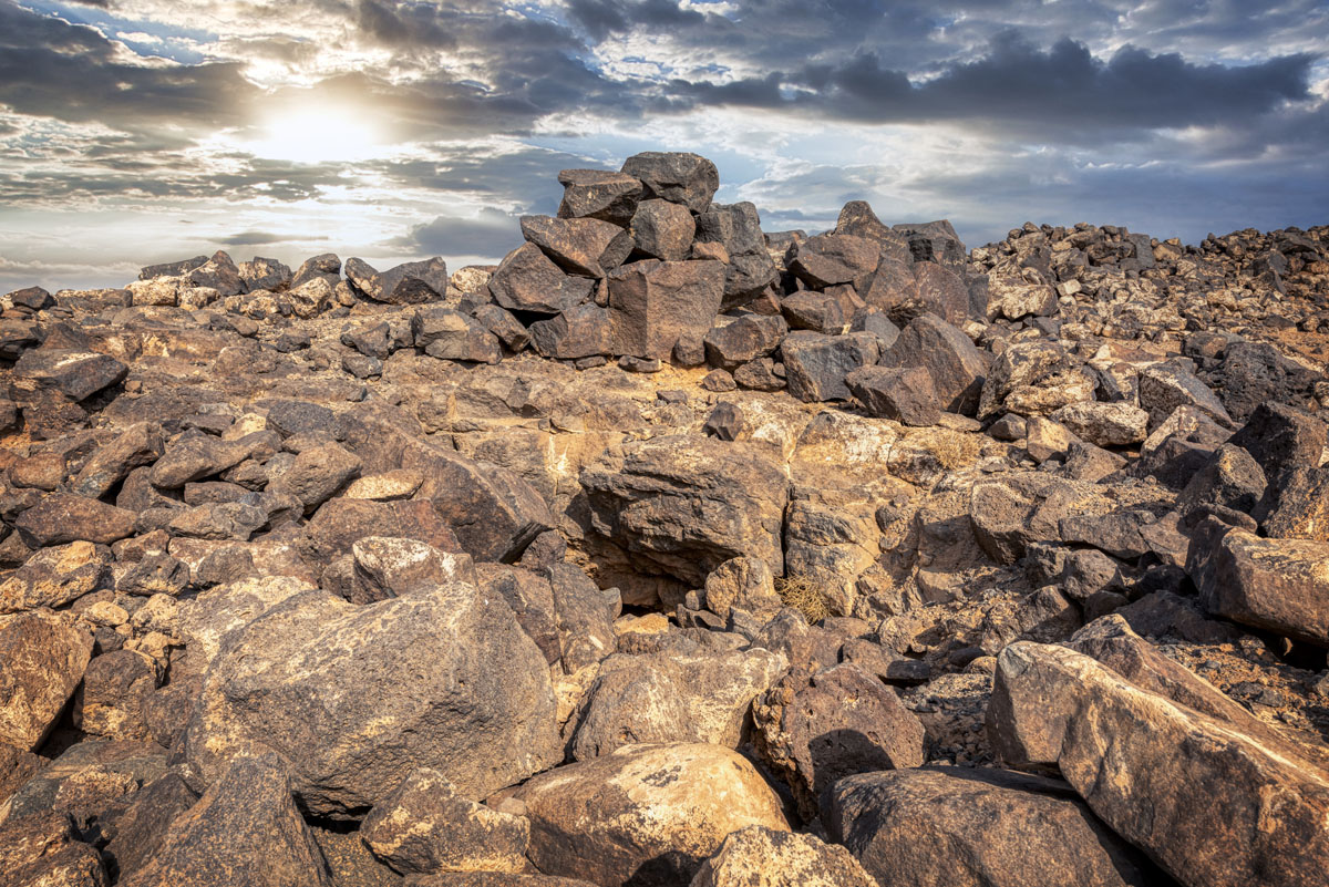
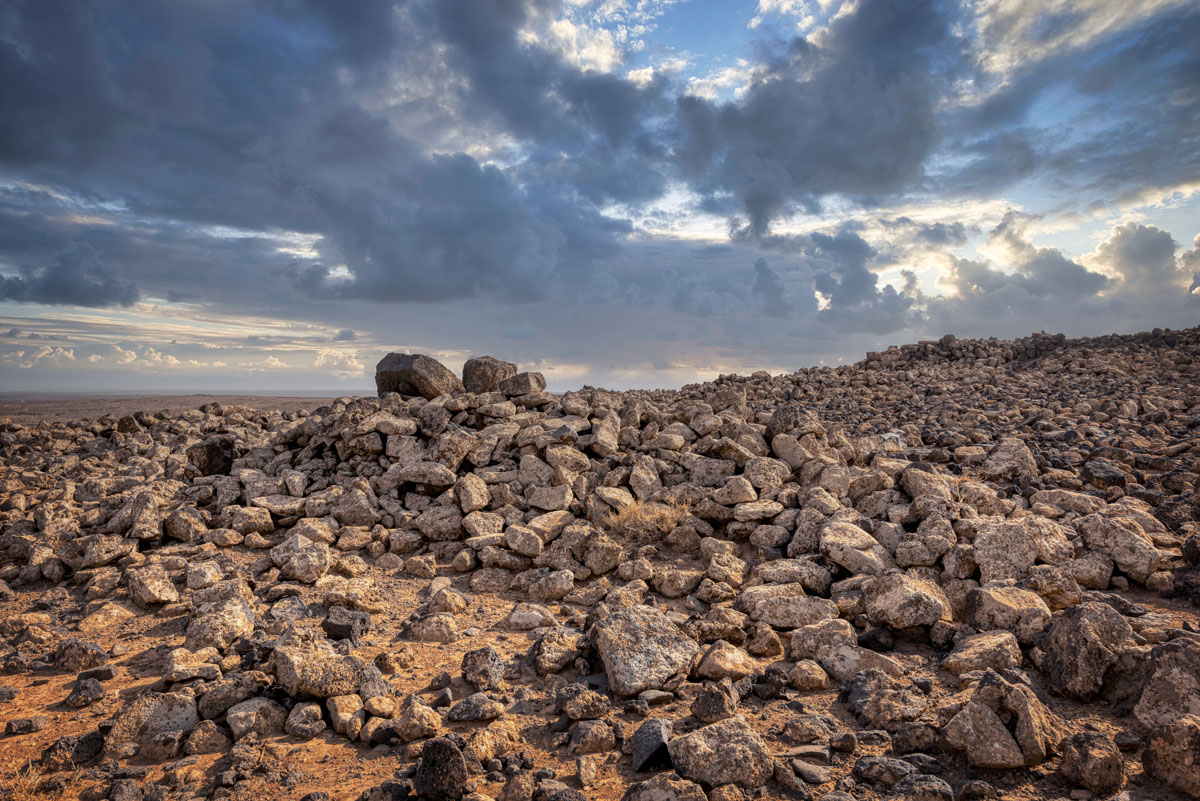
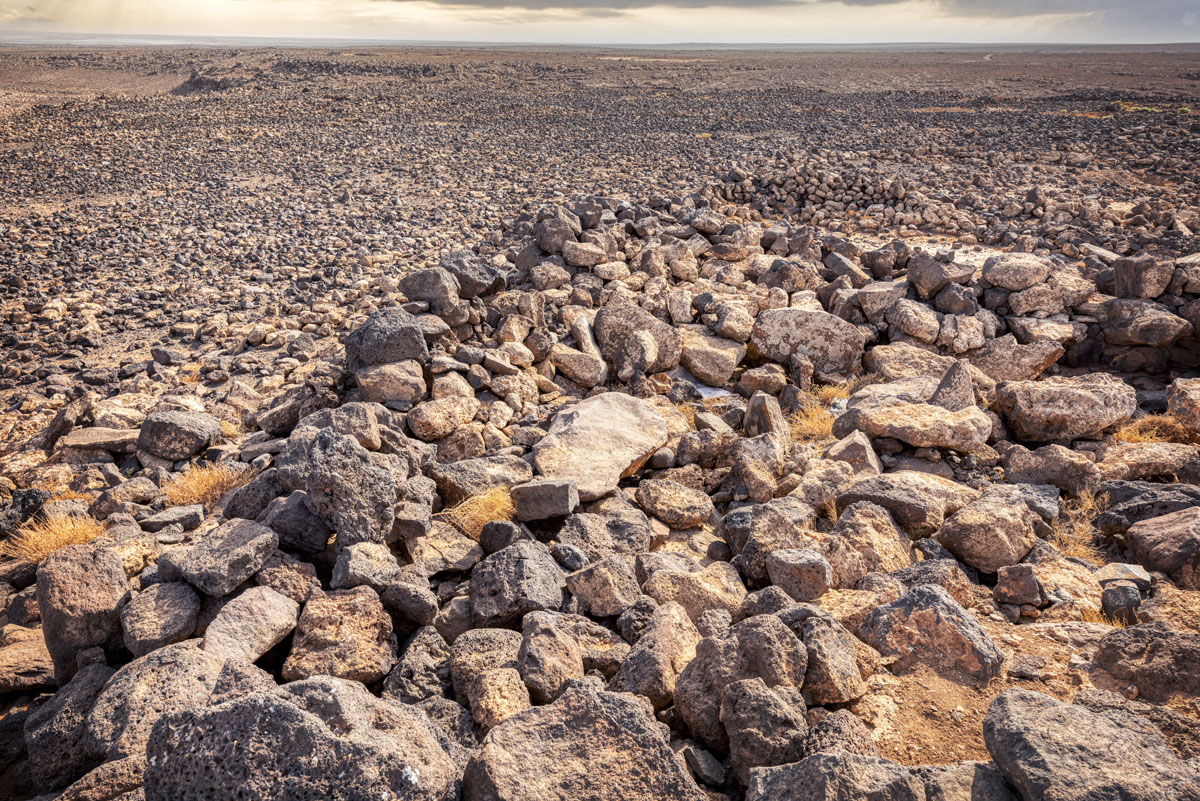
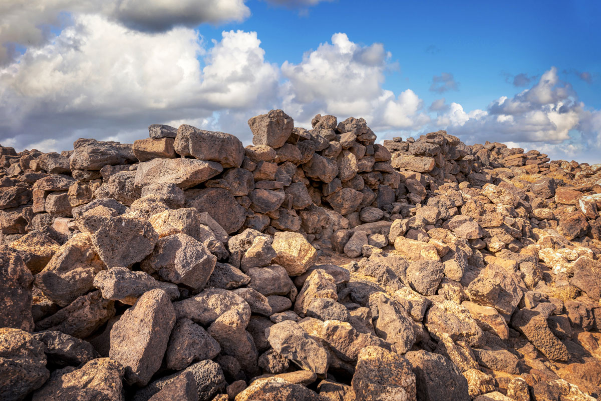
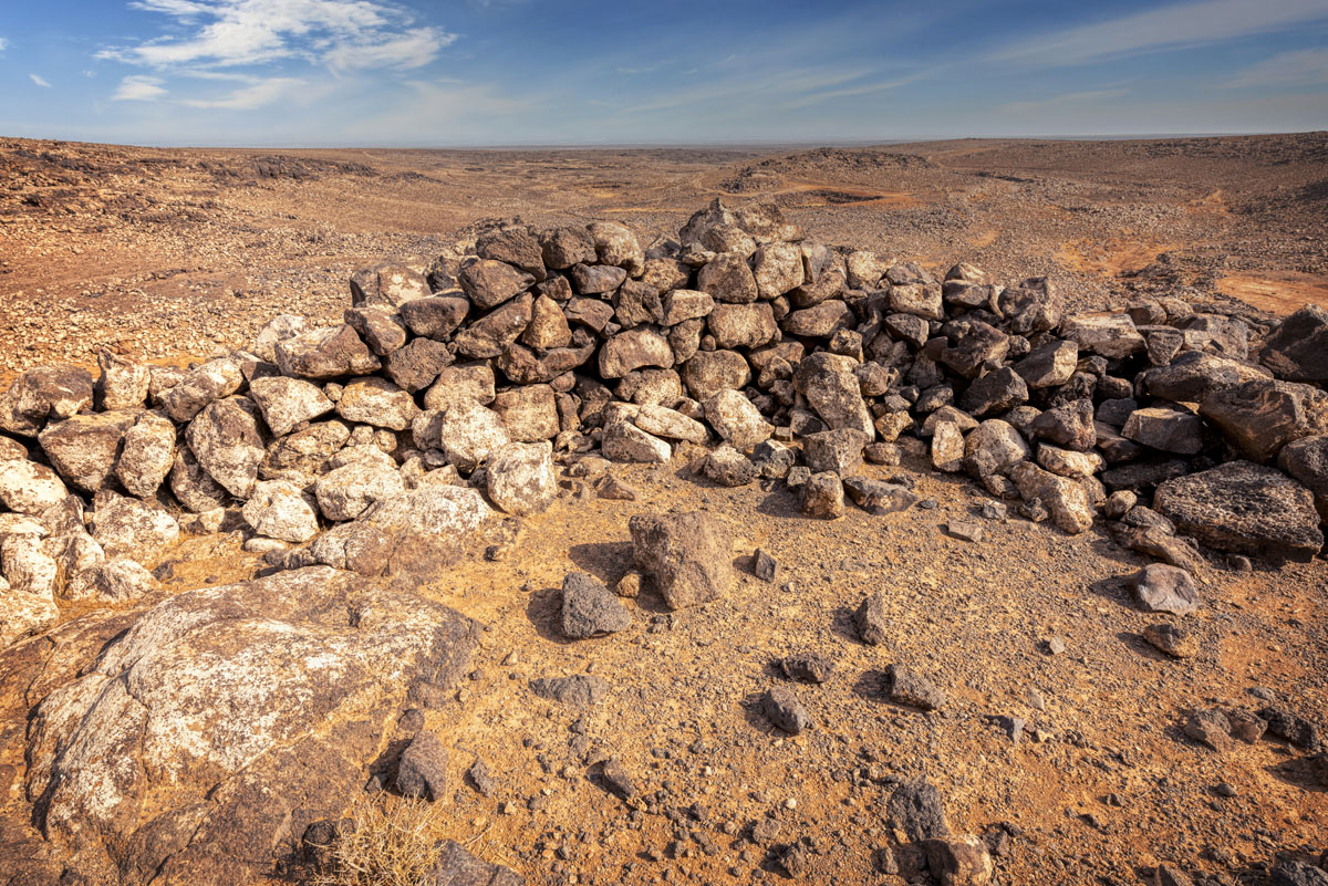
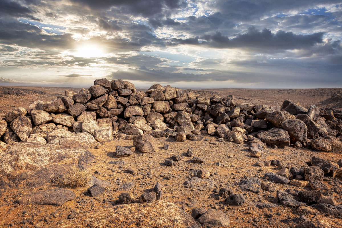
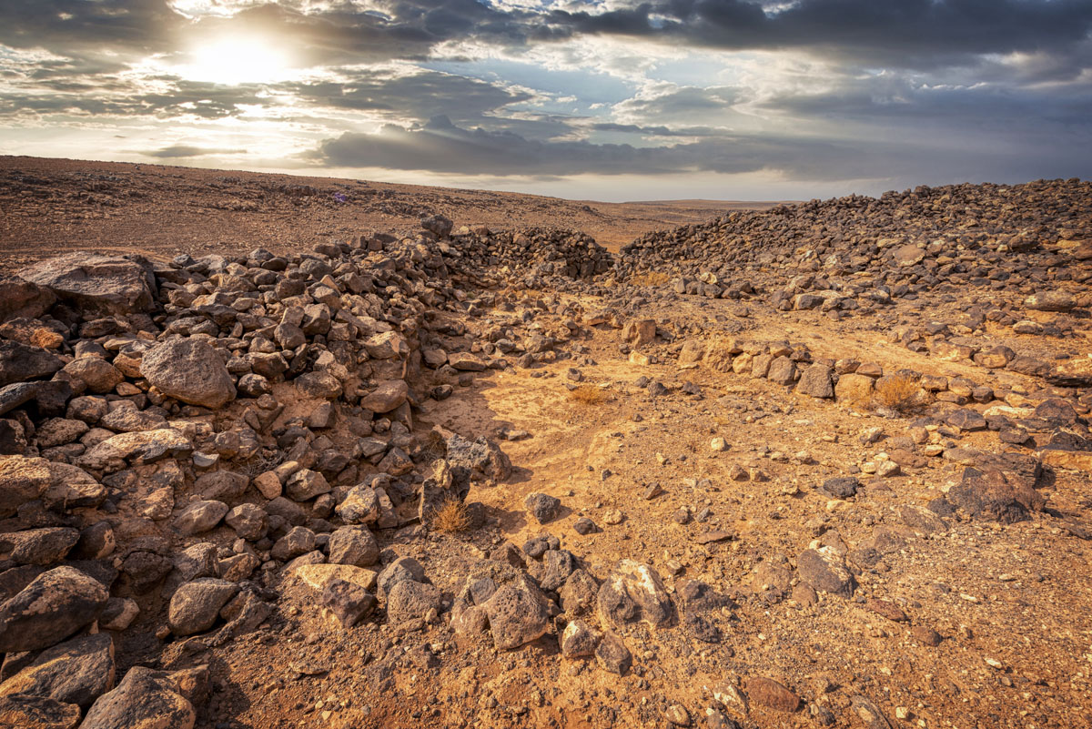
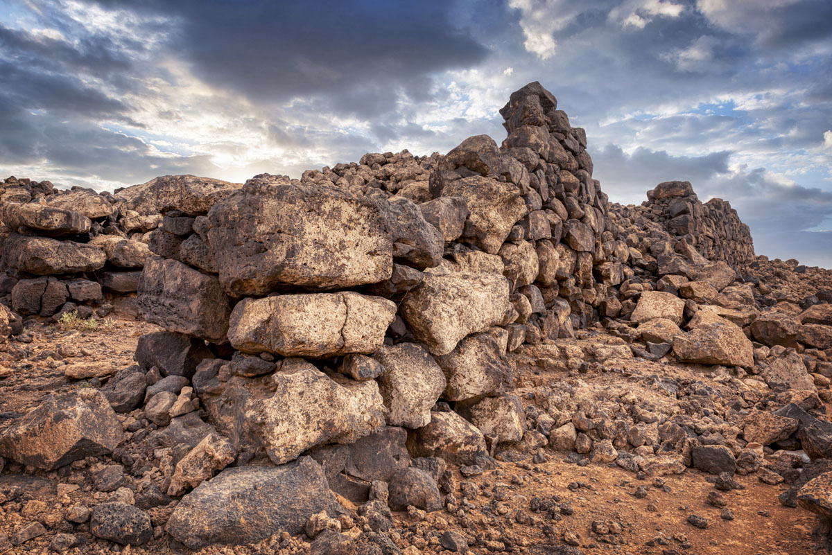
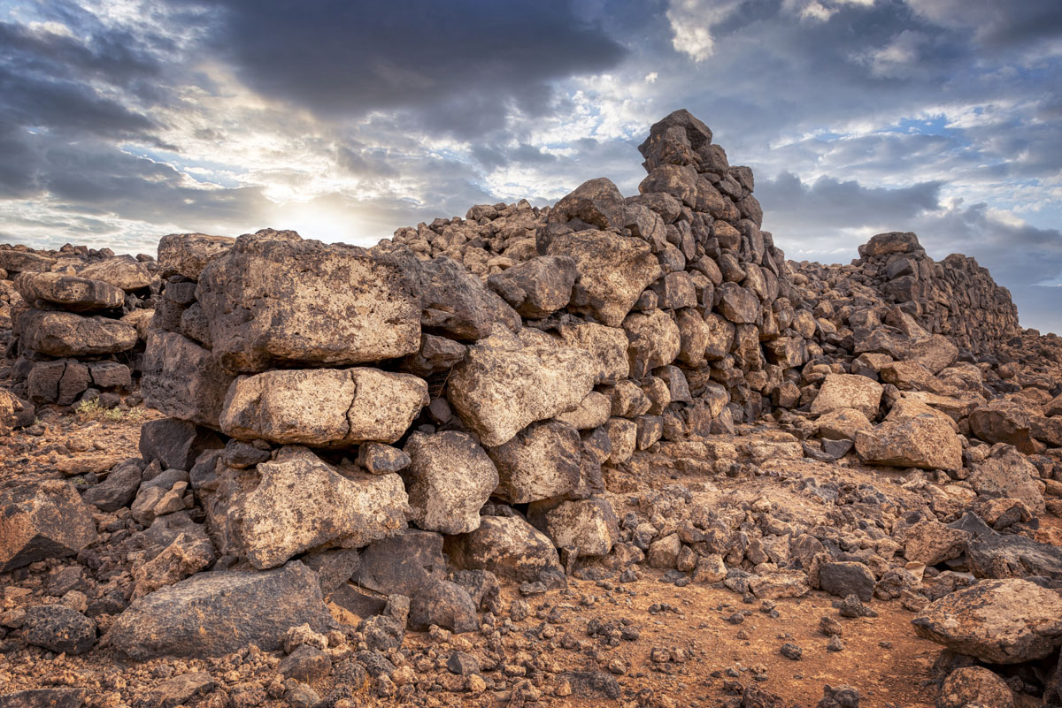
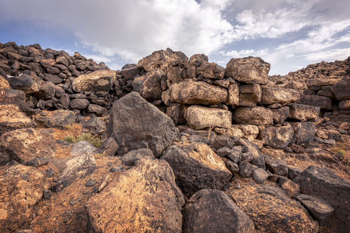
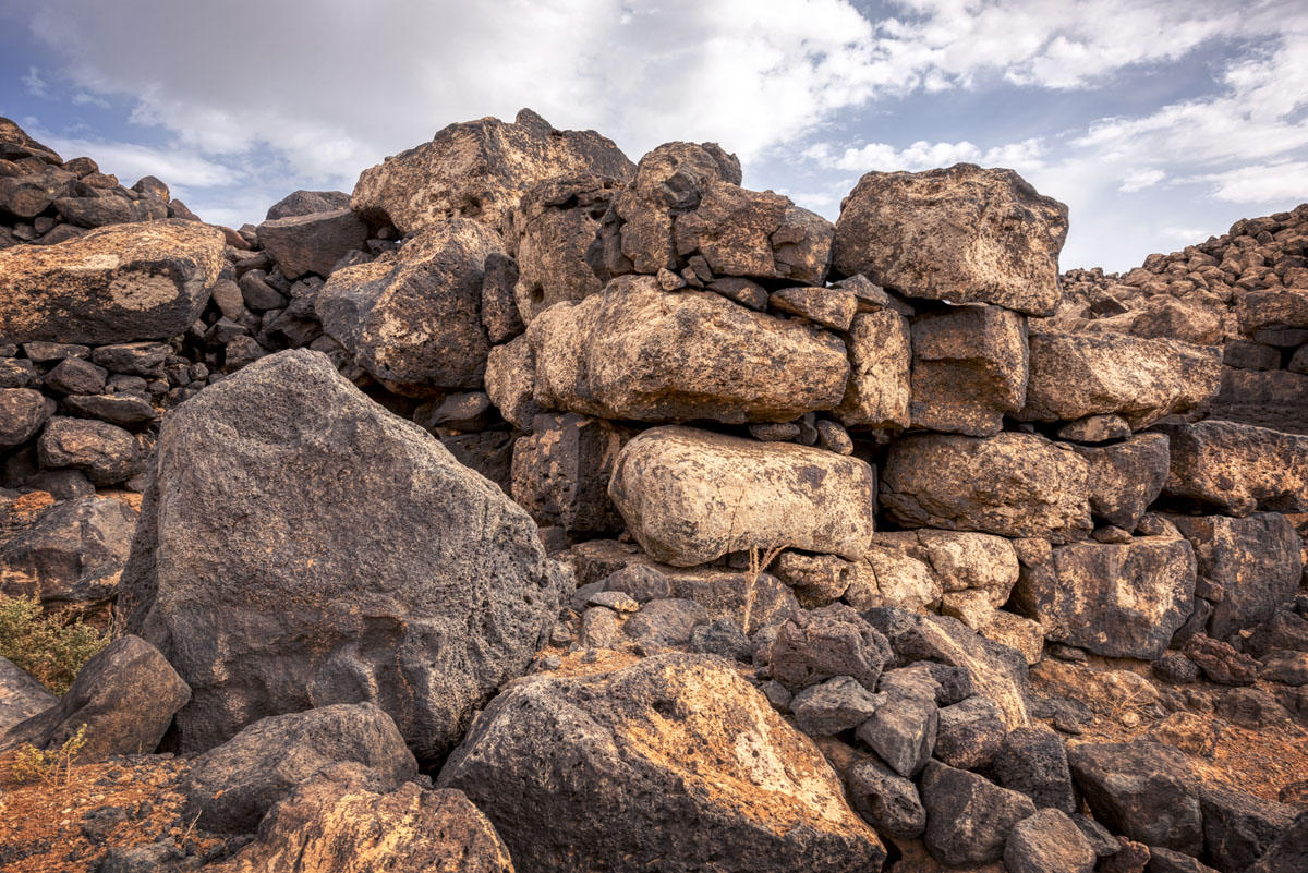
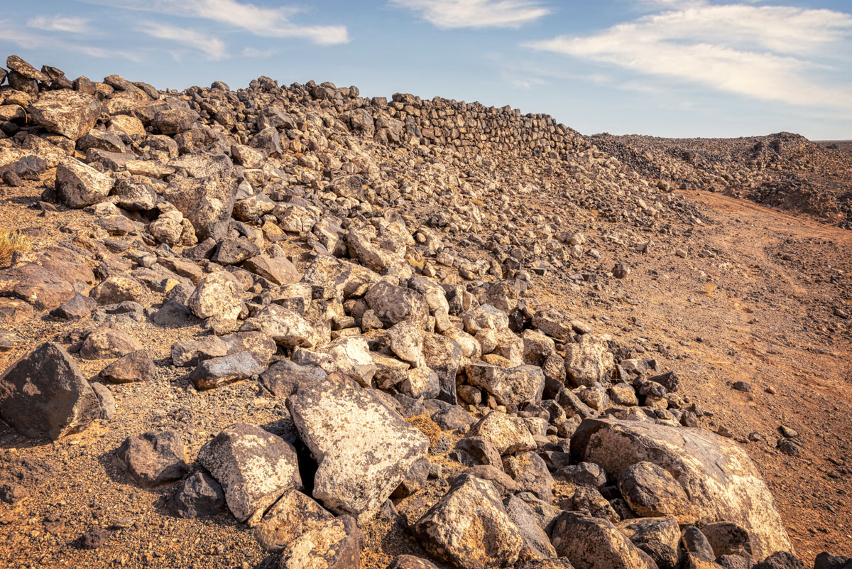
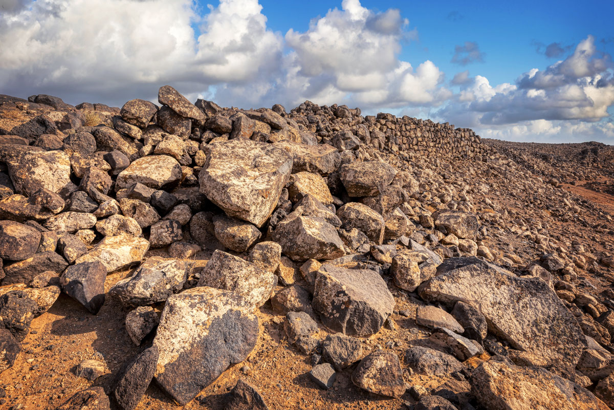
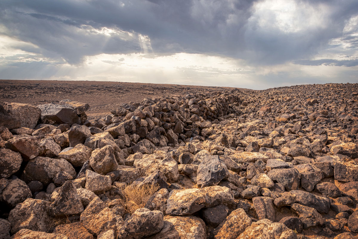
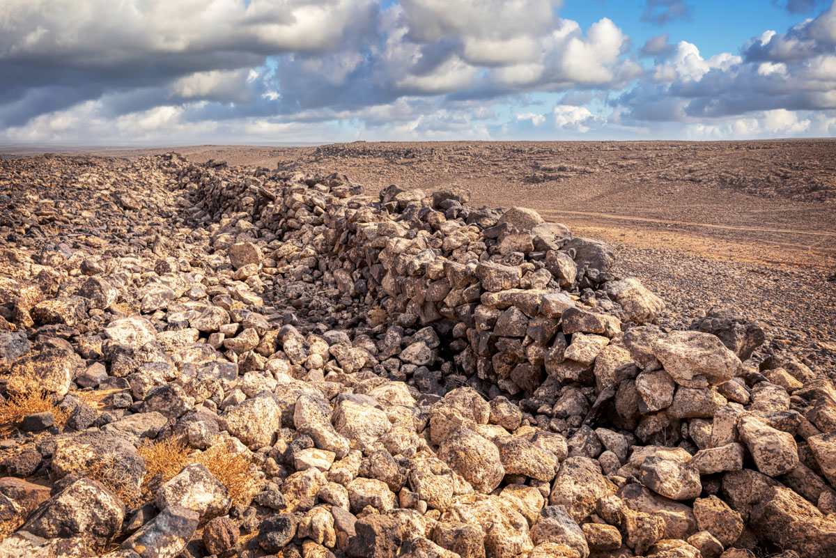
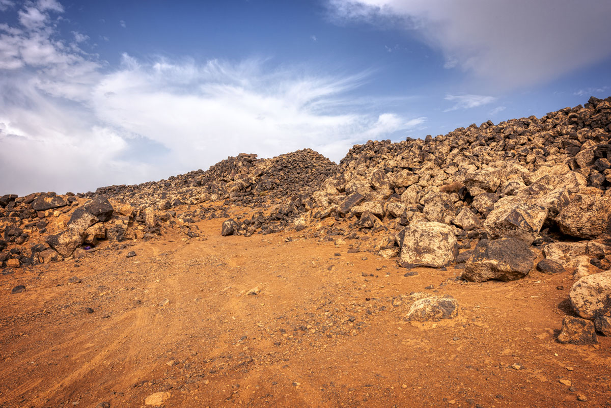
Walk up the ridge on the northwest around a reused ancient reservoir to the top of the hill to begin exploring the site. Jawa was divided into an upper and lower town each surrounded by a massive wall of roughly coursed basalt with a rubble core, enclosing 10 ha. The strongest was the upper fortification which still stands up to 6 m above the bedrock.
The lower fortification was constructed somewhat later: it is suggested that the lower town, which is divided into three sectors, grew out of a temporary labour camp which housed the local workers recruited to build the upper fortress.
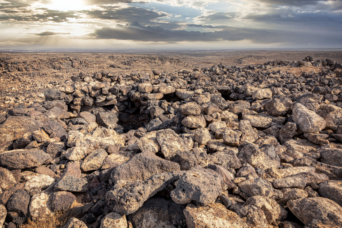
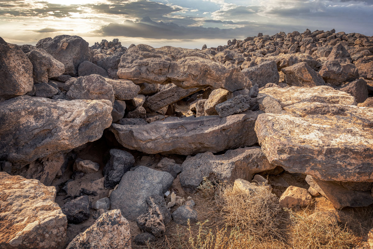
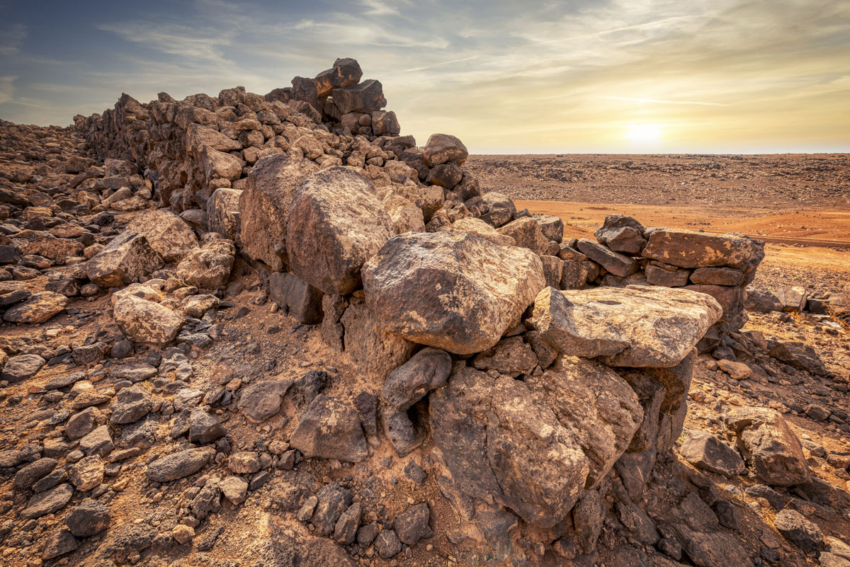
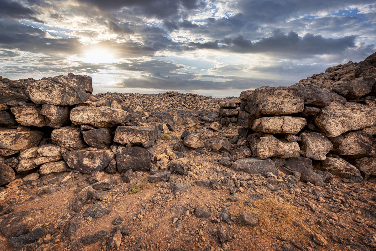
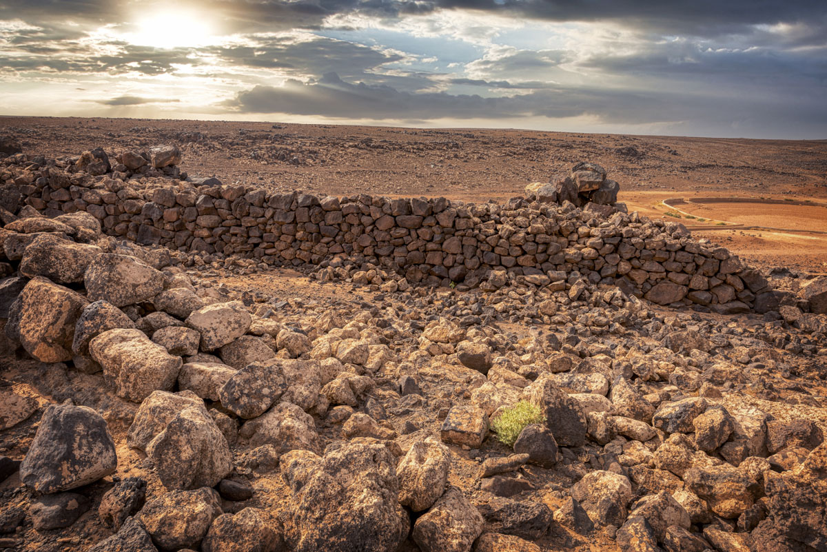
Walking south by the upper west wall, built along a natural rock scrap, you come to Jawa’s main gate, which projects from the wall and has a single internal chamber. Probably it was closed by two sets of double-leaf doors. Later the main gate was strengthened by an inner fortification wall and an inner gate, visible in the excavation trenches.
Jawa has more gates than any prehistoric settlements yet discovered, at least six in the upper town and eight in the lower: the best-preserved gate in the lower town is to the south, with two internal chambers and three doors, one double-leaf and two single. On either side of the gate is a true casemate wall, something which does not appear commonly on Near Eastern fortifications until over a millennium later.
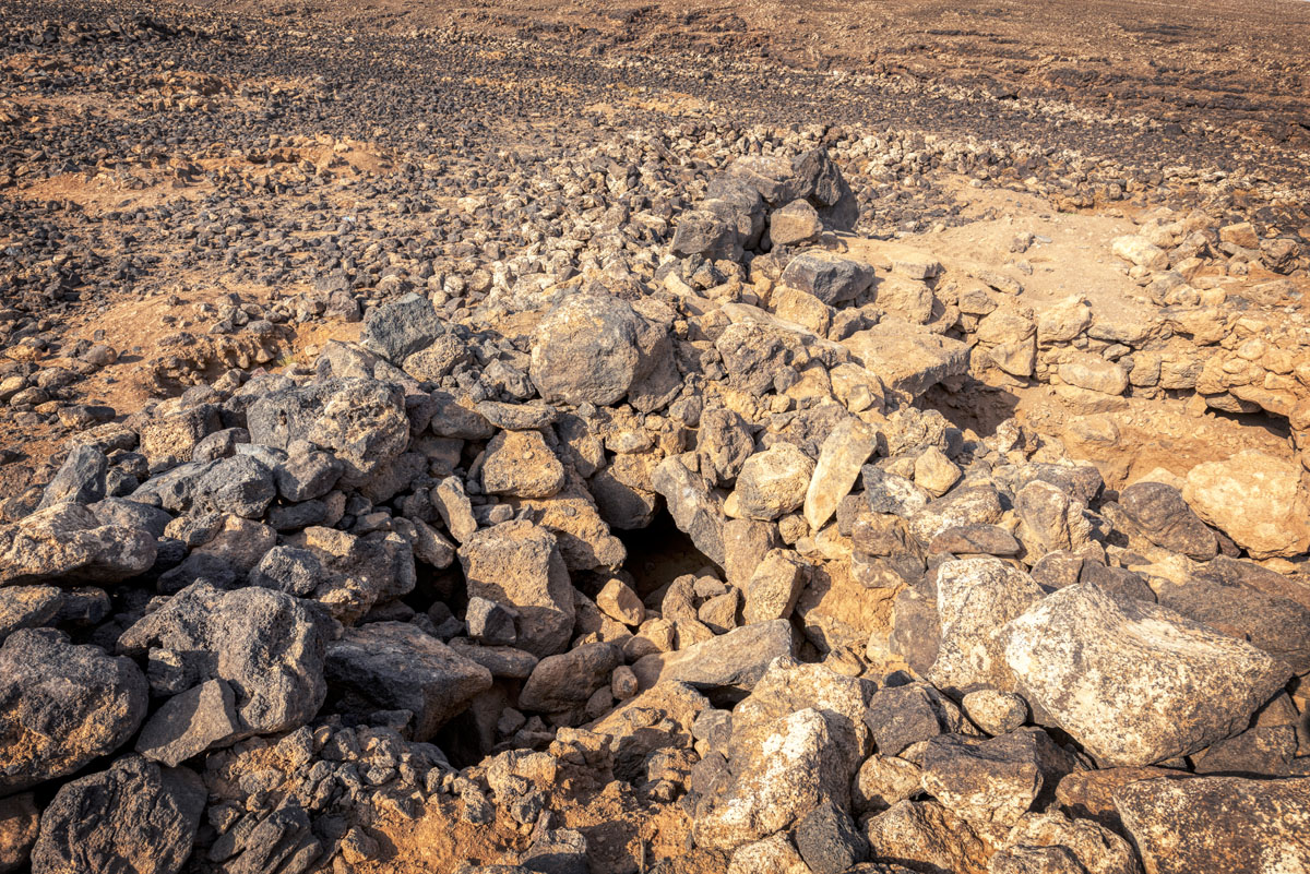
Both upper and lower towns were densely packed with irregularly shaped houses, often partly subterranean with stone foundations, mud-brick substructures, mus floors, plastered walls and roofs made of oak beams from the Jabal Druze covered with reeds and mud. There are excavated houses behind the main gate in the upper town and the southwest corner.
In the upper town is a rectangular building, the Citadel, divided into cells and three transverse corridors. Many of the basalt roof beams are still in situ and there are traces of an upper storey. Around the Citadel were several outbuildings. The excavator suggests that this complex was a Middle Bronze Age caravanserai, a stopping-place on the route between Syria/Mesopotamia and Arabia.
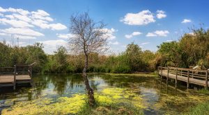
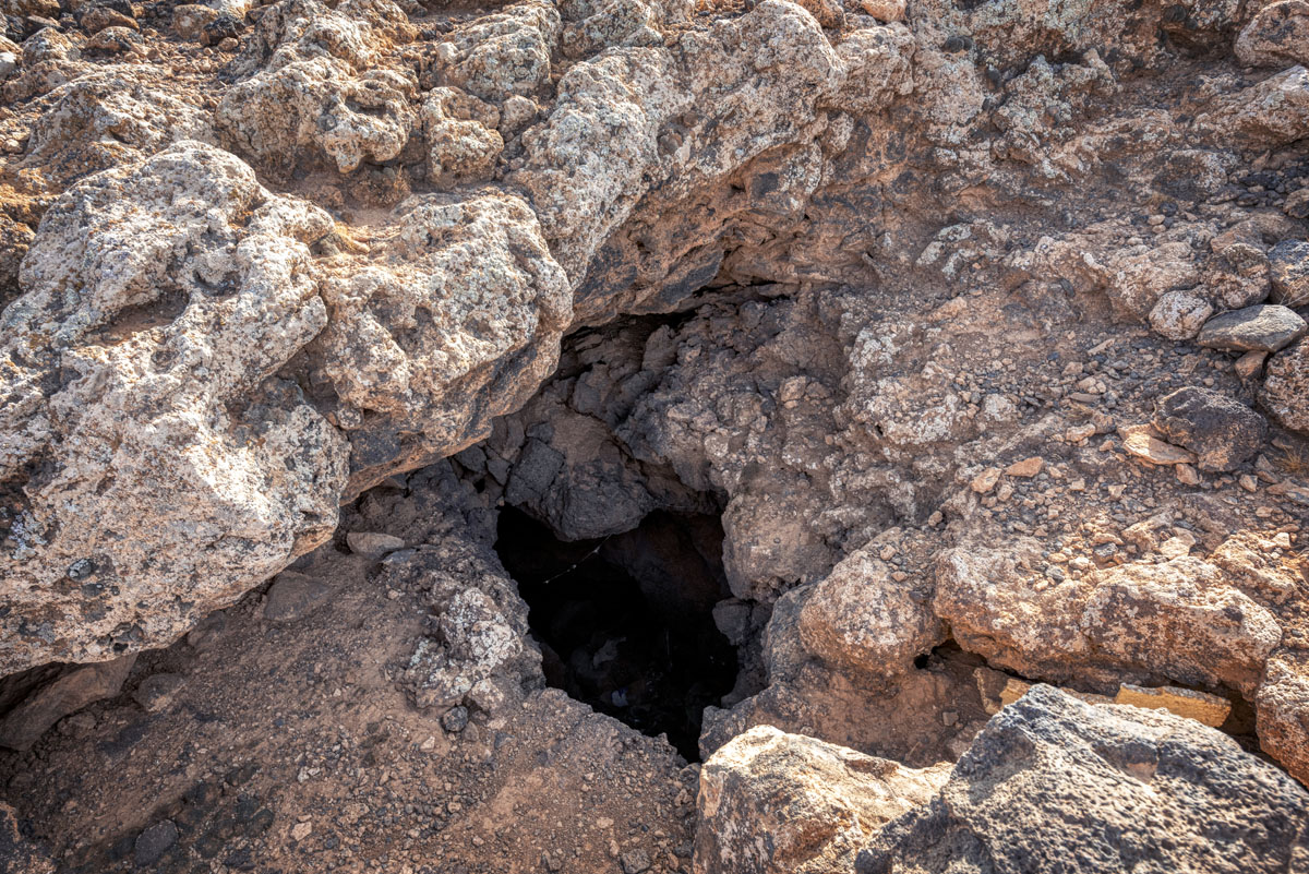
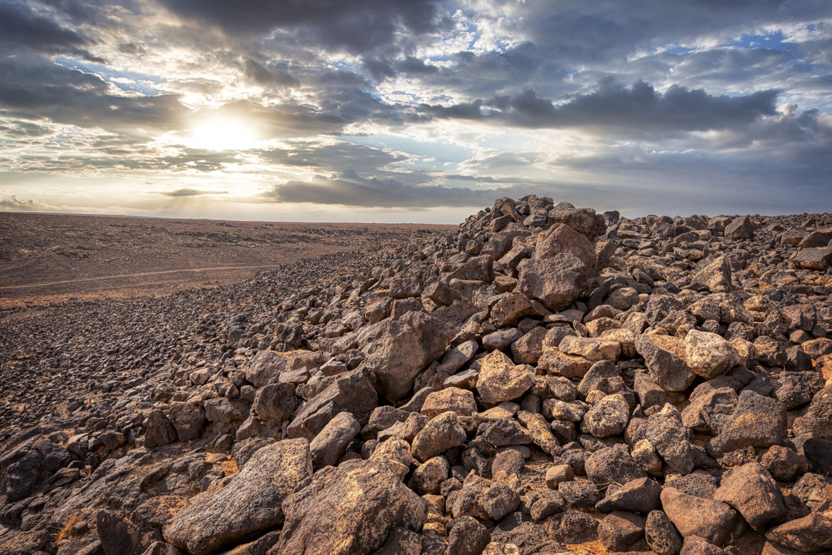
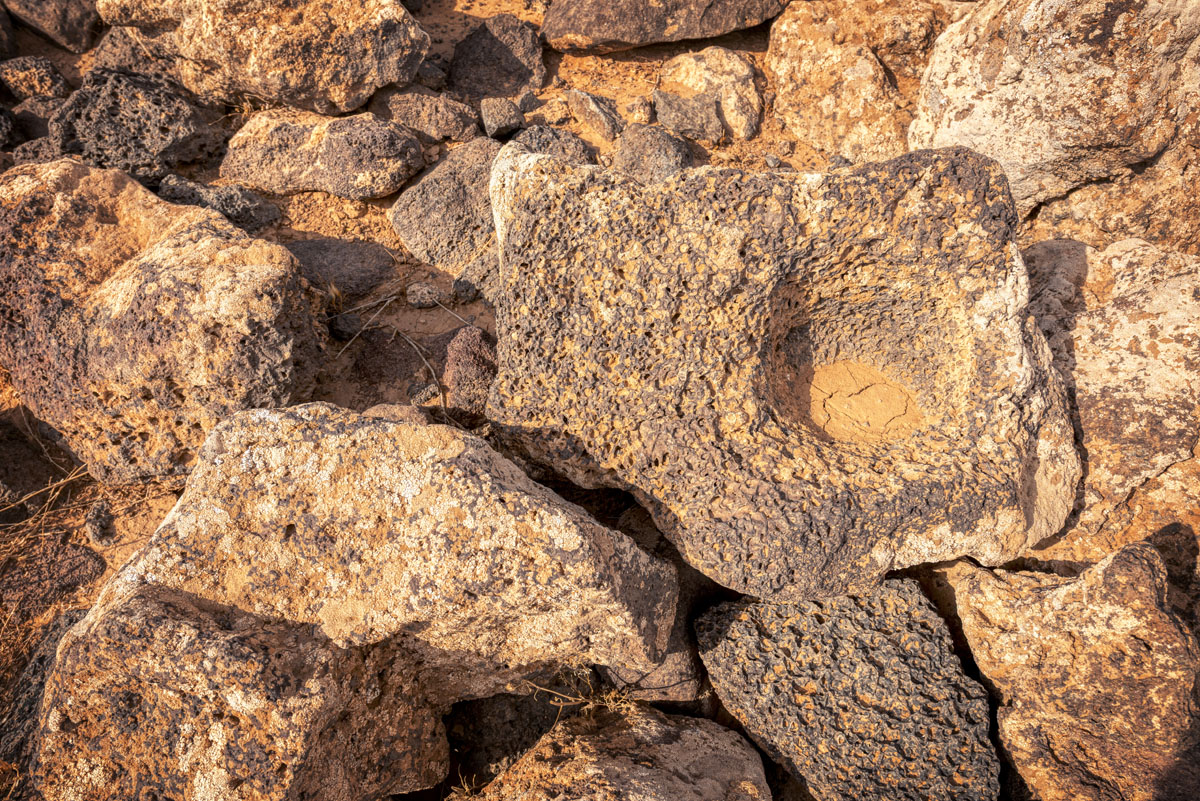
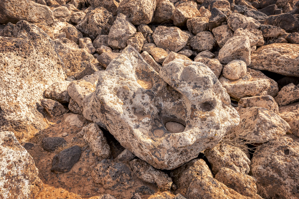
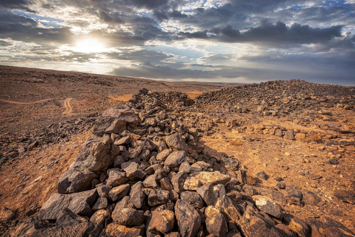
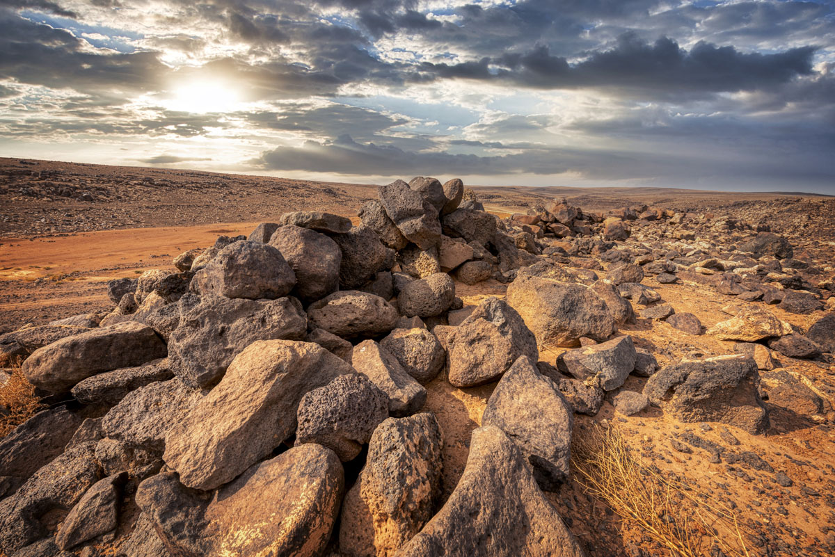
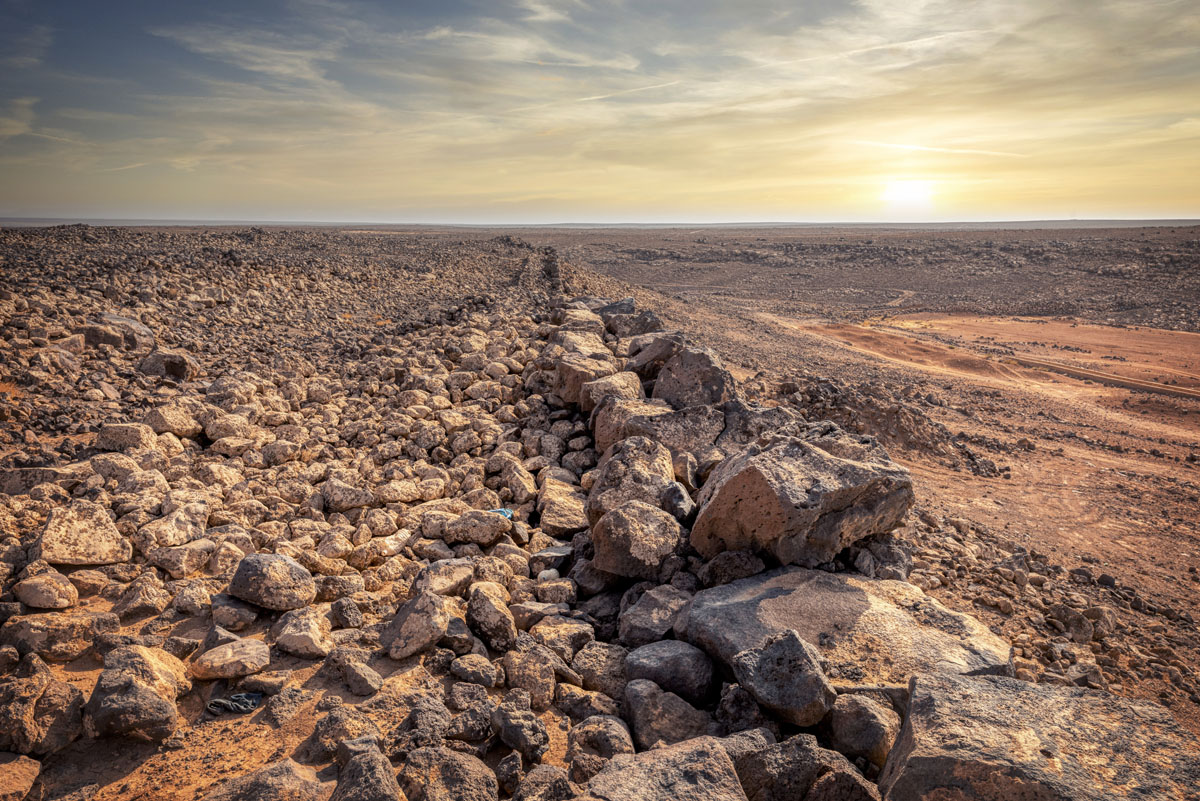
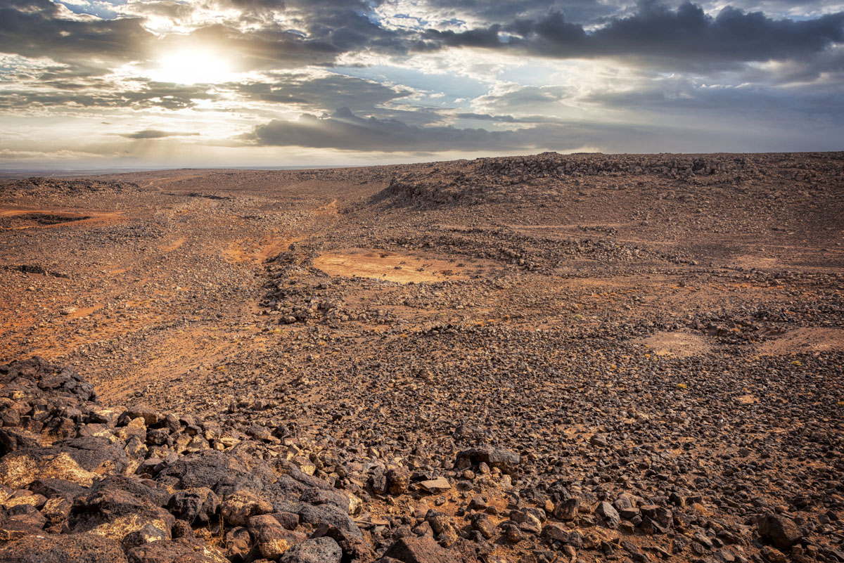
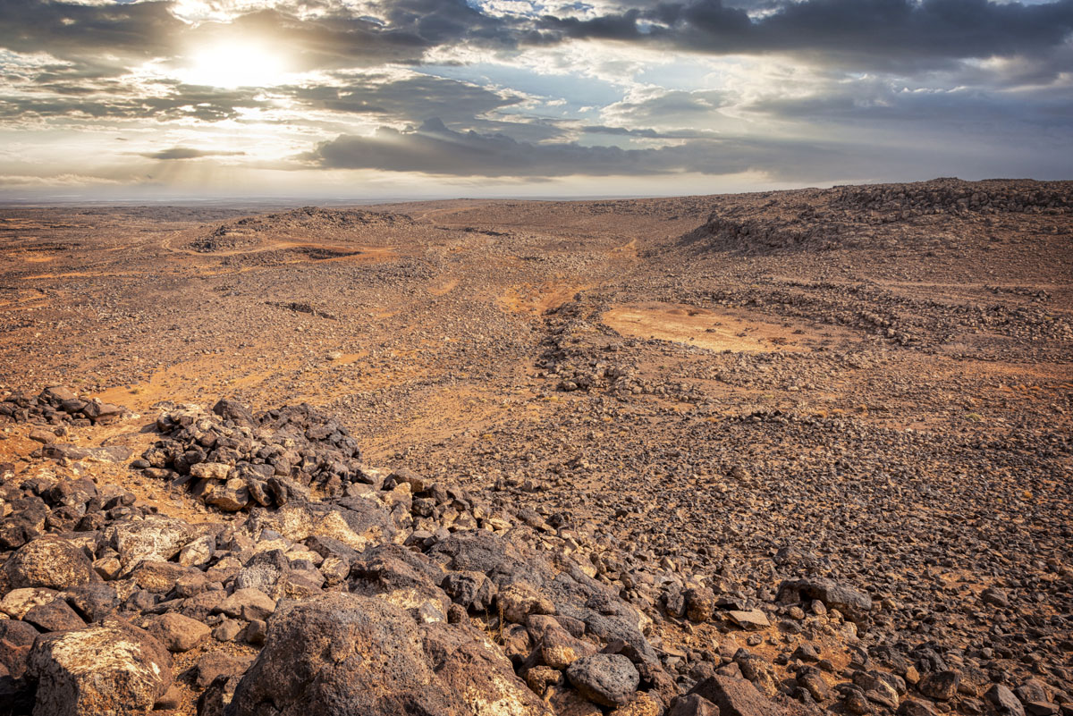
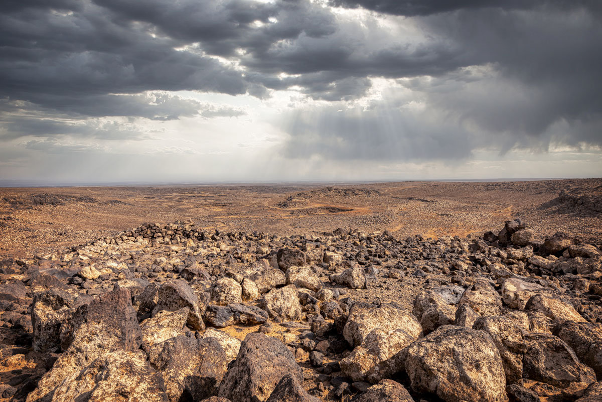
Perhaps the greatest skill of the Jawaites was hydrology. In such a bleak environment where springs are rare, and access to groundwater is virtually impossible, it is crucial to harness the winter rains. Over 8 km of stone canals, diversions, dams and reservoirs at Jawa and along the Wadi Rajil attest to the complex and efficient water system devised by the Jawaites. Rainwater was deflected at three points into canals which brought the water to circular reservoirs, several of which are visible.
A few decades at most after the fortress and water system were built, Jawa was attacked – in many areas the walls were breached and the archaeological evidence suggests widespread disaster. Some people continued to occupy the site for a short time, but without proper upkeep, the water system failed and Jawa was abandoned.
Over a millennium later it was reoccupied on a small scale by different communities. After it was abandoned for the second time Jawa was never resettled and for some 4,000 years it has remained a bleak and silent enigma of the “Black Desert”.


